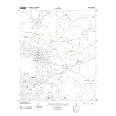
2011 Map of Aiken
USGS Topo · Published 2011About this map
Aiken serves as the focal point of this 2011 survey, showing a landscape defined by its long-standing equestrian and educational traditions. The presence of the University of South Carolina and several distinct sporting venues, including the Aiken Mile Track, Harriman Polo Field, and Whitney Polo Field, highlights the area’s unique cultural identity. This equestrian character is further emphasized by landmarks like the Post Polo Ranch and Powderhouse Polo Field, concentrated just south of the downtown core.
Find a feature on this map
173 named features on this map. Tap any name to fly to it.
Don’t see what you’re looking for? This feature index may not catch every label — zoom into the map to look around manually.
Map Details
Editions of this 2011 Aiken Map
This is the sole edition of this map. No revisions or reprints were ever made.
Other maps of this area

1920 · Aiken
USGS Topo · 1:48,000

1920 · Talatha
USGS Topo · 1:48,000

1921 · Augusta
USGS Topo · 1:62,500

1921 · Aiken
USGS Topo · 1:62,500

1921 · Talatha
USGS Topo · 1:62,500

1923 · Warrenville
USGS Topo · 1:48,000

1928 · Warrenville
USGS Topo · 1:62,500

1943 · Aiken
USGS Topo · 1:62,500

1943 · Augusta East
USGS Topo · 1:125,000

1943 · Warrenville
USGS Topo · 1:62,500