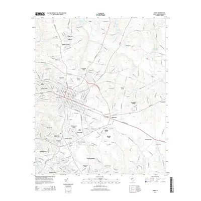
2014 Map of Aiken
USGS Topo · Published 2014About this map
Aiken serves as the central hub of this South Carolina landscape, surrounded by an expanding network of suburban developments and established neighborhoods. The western edge is defined by the unique topography of Kalmia Hills and the winding course of the Sand River, while the eastern reaches maintain a more rural character around Couchton and Montmorenci. Notable for its many small residential pockets, the area includes places like Westwood, Virginia Acres, and Crosland Park, reflecting mid-to-late 20th-century growth.
Find a feature on this map
113 named features on this map. Tap any name to fly to it.
Don’t see what you’re looking for? This feature index may not catch every label — zoom into the map to look around manually.
Map Details
Editions of this 2014 Aiken Map
This is the sole edition of this map. No revisions or reprints were ever made.
Other maps of this area

1920 · Aiken
USGS Topo · 1:48,000

1920 · Talatha
USGS Topo · 1:48,000

1921 · Augusta
USGS Topo · 1:62,500

1921 · Aiken
USGS Topo · 1:62,500

1921 · Talatha
USGS Topo · 1:62,500

1923 · Warrenville
USGS Topo · 1:48,000

1928 · Warrenville
USGS Topo · 1:62,500

1943 · Aiken
USGS Topo · 1:62,500

1943 · Augusta East
USGS Topo · 1:125,000

1943 · Warrenville
USGS Topo · 1:62,500