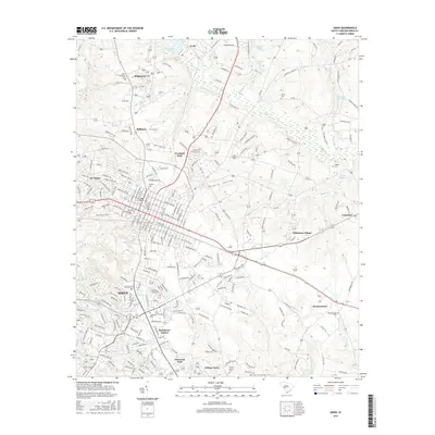
2017 Map of Aiken
USGS Topo · Published 2017About this map
Aiken serves as the focal point for this survey, showcasing its established street grid and residential neighborhoods like Crosland Park and Elmwood Park. The city's history is deeply etched into the landscape through its numerous religious and commemorative sites, including Saint Thaddeus Cem and the First Baptist Cem near the downtown core. The surrounding area reveals a transition from dense urban development to the residential expansion of Bonniview Estates and the academic grounds of College Acres.
Find a feature on this map
236 named features on this map. Tap any name to fly to it.
Don’t see what you’re looking for? This feature index may not catch every label — zoom into the map to look around manually.
Map Details
Editions of this 2017 Aiken Map
This is the sole edition of this map. No revisions or reprints were ever made.
Other maps of this area

1920 · Aiken
USGS Topo · 1:48,000

1920 · Talatha
USGS Topo · 1:48,000

1921 · Augusta
USGS Topo · 1:62,500

1921 · Aiken
USGS Topo · 1:62,500

1921 · Talatha
USGS Topo · 1:62,500

1923 · Warrenville
USGS Topo · 1:48,000

1928 · Warrenville
USGS Topo · 1:62,500

1943 · Aiken
USGS Topo · 1:62,500

1943 · Augusta East
USGS Topo · 1:125,000

1943 · Warrenville
USGS Topo · 1:62,500