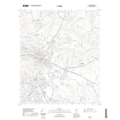
2020 Map of Aiken
USGS Topo · Published 2020About this map
Aiken serves as the focal point of this South Carolina landscape, where the dense residential grid meets the surrounding sandhills and creek drainages. The area is marked by a high concentration of burial grounds that offer significant genealogical value, including the Saint Thaddeus Episcopal Church Graveyard and Aiken's First Baptist Church Graveyard in the town center, along with the Aiken Memorial Cem to the north.
Find a feature on this map
231 named features on this map. Tap any name to fly to it.
Don’t see what you’re looking for? This feature index may not catch every label — zoom into the map to look around manually.
Map Details
Editions of this 2020 Aiken Map
This is the sole edition of this map. No revisions or reprints were ever made.
Other maps of this area

1920 · Aiken
USGS Topo · 1:48,000

1920 · Talatha
USGS Topo · 1:48,000

1921 · Augusta
USGS Topo · 1:62,500

1921 · Aiken
USGS Topo · 1:62,500

1921 · Talatha
USGS Topo · 1:62,500

1923 · Warrenville
USGS Topo · 1:48,000

1928 · Warrenville
USGS Topo · 1:62,500

1943 · Aiken
USGS Topo · 1:62,500

1943 · Augusta East
USGS Topo · 1:125,000

1943 · Warrenville
USGS Topo · 1:62,500