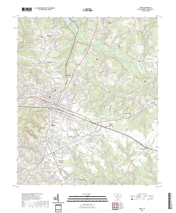
2024 Map of Aiken
USGS Topo · Published 2024About this map
The city of Aiken serves as the focal point of this South Carolina landscape, where the urban grid meets the established residential developments of Crosland Park, Bonniview Estates, and Elmwood Park. This contemporary survey highlights the area's deep spiritual and genealogical roots through its numerous historic burial grounds, including the Saint Thaddeus Episcopal Church Graveyard and Aiken's First Baptist Church Graveyard. Beyond the city center, the terrain is defined by water features like Sand River and the expansive Hounds Lake. To the east, the community of Montmorenci and the industrial-agricultural character near Wrights Millpond illustrate the region's continued expansion. The placement of the Aiken County Judicial Center and various local schools and churches reflects a well-integrated civic infrastructure that has evolved alongside the area's natural drainage systems like Shaw Creek.
Find a feature on this map
279 named features on this map. Tap any name to fly to it.
Don’t see what you’re looking for? This feature index may not catch every label — zoom into the map to look around manually.
Map Details
Editions of this 2024 Aiken Map
This is the sole edition of this map. No revisions or reprints were ever made.
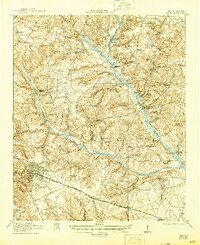
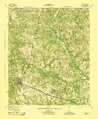
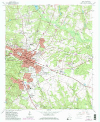
Historical Maps of Aiken Estates Through Time
6 maps found