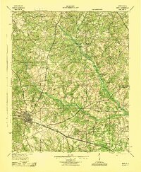
1943 Map of Aiken
USGS Topo · Published 1943About this map
The city of Aiken and its surrounding rural landscapes are detailed in this mid-century survey, revealing a network of small schoolhouses and country churches that anchored South Carolina communities. The Southern railroad line cuts across the southern portion of the sheet, serving settlements like Montmorenci and Oakwood. To the north and east, the South Fork Edisto River snakes through the terrain, bridged at points like Merritts Bridge.
Find a feature on this map
57 named features on this map. Tap any name to fly to it.
Don’t see what you’re looking for? This feature index may not catch every label — zoom into the map to look around manually.
Map Details
Editions of this 1943 Aiken Map
This is the sole edition of this map. No revisions or reprints were ever made.
Other maps of this area
1920 · Aiken
USGS Topo · 1:48,000
1920 · Talatha
USGS Topo · 1:48,000

1921 · Augusta
USGS Topo · 1:62,500
1921 · Aiken
USGS Topo · 1:62,500
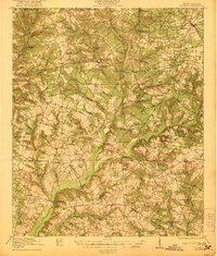
1921 · Talatha
USGS Topo · 1:62,500
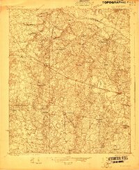
1923 · Williston
USGS Topo · 1:48,000
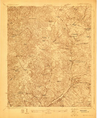
1923 · Warrenville
USGS Topo · 1:48,000
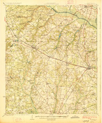
1927 · Williston
USGS Topo · 1:62,500
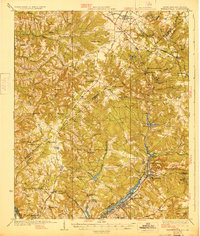
1928 · Warrenville
USGS Topo · 1:62,500
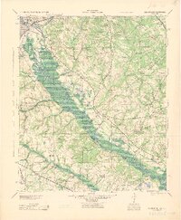
1943 · Augusta East
USGS Topo · 1:125,000