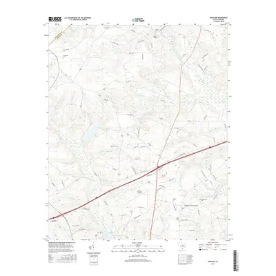
2017 Map of Aiken NW
USGS Topo · Published 2017About this map
The South Fork Edisto River meanders through this landscape north of the city of Aiken, defining a region where rural heritage and modern infrastructure meet. At Seiglers Crossroads, several family-named landmarks such as the Seigler Family Cem and Seigler Cem reflect deep genealogical roots in the area. Further south, the Aiken Municipal Airport sits near the headwaters of Dairy Br, indicating the post-war development of the region's transport network. The map is particularly dense with small family burial grounds, including the Needham Brown Cem, Timmerman Cem, and Scott Cem, which are invaluable for researchers tracing early settlement patterns. Water features like Lake Josephine and Morris Lake dot the drainages of the Bridge Cr and Mile Br systems, highlighting the complex hydrology of the South Carolina sandhills.
Find a feature on this map
83 named features on this map. Tap any name to fly to it.
Don’t see what you’re looking for? This feature index may not catch every label — zoom into the map to look around manually.
Map Details
Editions of this 2017 Aiken NW Map
This is the sole edition of this map. No revisions or reprints were ever made.
Other maps of this area

1920 · Aiken
USGS Topo · 1:48,000

1921 · Aiken
USGS Topo · 1:62,500

1923 · Warrenville
USGS Topo · 1:48,000

1928 · Warrenville
USGS Topo · 1:62,500

1943 · Aiken
USGS Topo · 1:62,500

1943 · Warrenville
USGS Topo · 1:62,500

1954 · Augusta
USGS Topo · 1:250,000

1957 · Augusta
USGS Topo · 1:250,000

1958 · Augusta
USGS Topo · 1:250,000

1961 · Augusta
USGS Topo · 1:250,000