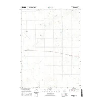
2014 Map of Ainsworth SW
USGS Topo · Published 2014About this map
Sandridge and the surrounding high plains of Brown County are defined by a complex network of seasonal drainages and local water management. The area is marked by significant topographical relief where the headwaters of Bone Cr and the branching paths of Sand Draw cut through the landscape. This 2014 survey shows the intersection of modern transportation and early settlement history, with Us-20 paralleling the long-distance Cowboy Trl through the center of the map. Genealogists and local historians can find important burial sites including German Cem and Grand Prairie Cem, reflecting the early community structure of this rural region. The presence of the Ainsworth Regional Airport and several private water features like Budde Reservoir and the Snyder Group Reservoir illustrate the ongoing agricultural and logistical importance of this section of the Nebraska Sandhills.
Find a feature on this map
10 named features on this map. Tap any name to fly to it.
Don’t see what you’re looking for? This feature index may not catch every label — zoom into the map to look around manually.
Map Details
Editions of this 2014 Ainsworth SW Map
This is the sole edition of this map. No revisions or reprints were ever made.
Other maps of this area

1949 · Dutch Creek
USGS Topo · 1:24,000

1950 · Dutch Creek
USGS Topo · 1:24,000

1950 · Wood Lake
USGS Topo · 1:62,500

1951 · Moon Lake
USGS Topo · 1:62,500

1954 · Ainsworth NW
USGS Topo · 1:24,000

1954 · Ainsworth SW
USGS Topo · 1:24,000

1954 · Ainsworth
USGS Topo · 1:24,000

1955 · O'Neill
USGS Topo · 1:250,000

1957 · Valentine
USGS Topo · 1:250,000

1959 · Valentine
USGS Topo · 1:250,000