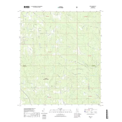
2018 Map of Airey
USGS Topo · Published 2018About this map
Airey is situated in the heart of the De Soto National Forest, where a network of forest roads and trails navigates a landscape defined by complex creek systems. This 2018 survey documents a region where local family history is anchored at sites like Lott Cem and Broadus Cem, reflecting the enduring settlement patterns along the Stone and Harrison county line. The terrain is a maze of drainages, including Tuxachanie Cr, Saucier Cr, and Beaver Dam Cr, which feed the surrounding wetlands. This modern map illustrates how contemporary infrastructure like Wlox-TV RD and the various loops of the Tuxachanie Trl coexist with long-established landmarks like Copeland Spring. It provides a clear view of the intersection of public forest lands and private homesteads, traced through a series of named roads such as Copeland Rd and R D Bond Rd.
Find a feature on this map
91 named features on this map. Tap any name to fly to it.
Don’t see what you’re looking for? This feature index may not catch every label — zoom into the map to look around manually.
Map Details
Editions of this 2018 Airey Map
This is the sole edition of this map. No revisions or reprints were ever made.
Other maps of this area

1947 · Wiggins
USGS Topo · 1:62,500

1947 · Benndale
USGS Topo · 1:62,500

1949 · Wiggins
USGS Topo · 1:62,500

1949 · Benndale
USGS Topo · 1:62,500

1953 · Mobile
USGS Topo · 1:250,000

1954 · Vestry
USGS Topo · 1:62,500

1954 · McHenry
USGS Topo · 1:62,500

1957 · Mobile
USGS Topo · 1:250,000

1960 · Mobile
USGS Topo · 1:250,000

1963 · Mobile
USGS Topo · 1:250,000