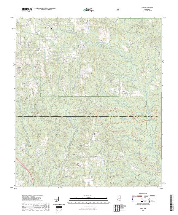
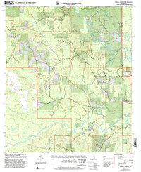
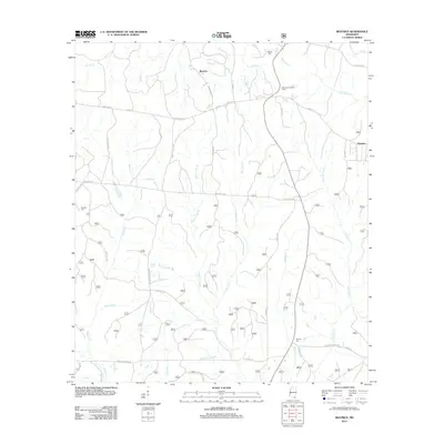
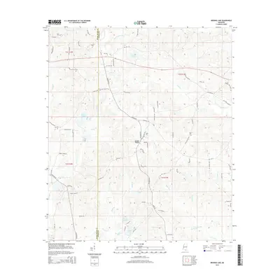
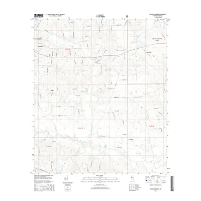
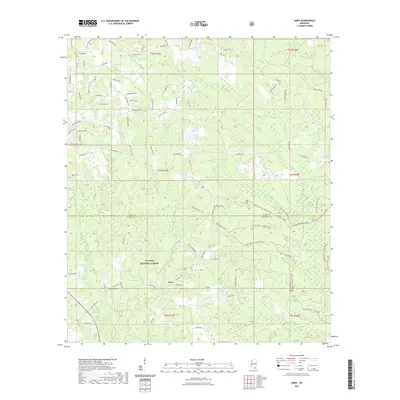
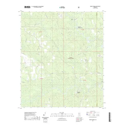
2024 Map of Airey
USGS Topo · Published 2024About this map
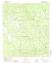
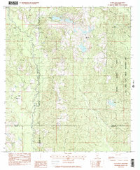
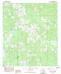
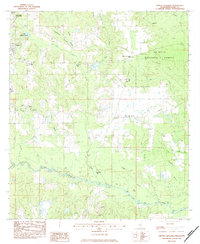
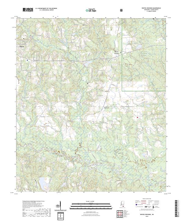
The De Soto National Forest covers much of this landscape in southern Mississippi, where the headwaters of numerous coastal streams begin their southward descent. The map centers on the small settlement of Airey near the boundary between Stone and Harrison counties. This area is characterized by a dense network of watercourses, including Tuxachanie Creek and Biloxi Creek, which historically dictated the movement and settlement patterns of local families. Genealogy researchers will find several well-preserved rural burial sites, such as Sunflower Cem, Lott Cem, and Broadus Cem, which serve as vital markers of the area's early residents. The road network, including historic routes like Wire Road East and City Rd, reflects the evolution of transport through the piney woods of the Gulf Coastal Plain.
Find a feature on this map
91 named features on this map. Tap any name to fly to it.
Don’t see what you’re looking for? This feature index may not catch every label — zoom into the map to look around manually.
Map Details
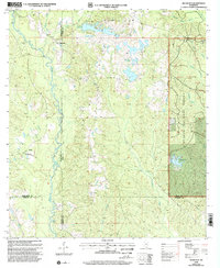
Editions of this 2024 Airey Map
This is the sole edition of this map. No revisions or reprints were ever made.
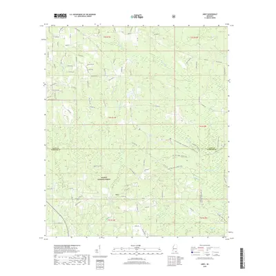
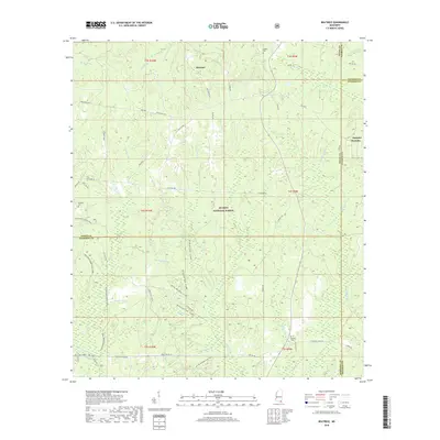
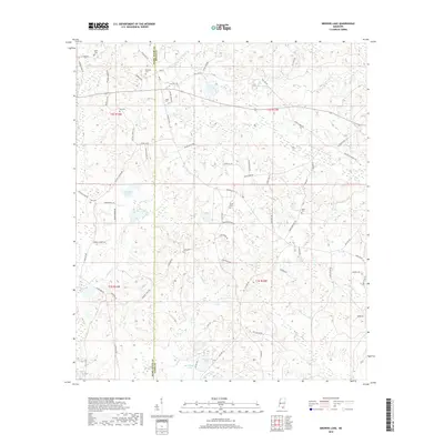
Historical Maps of Airey Through Time
45 maps found
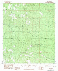
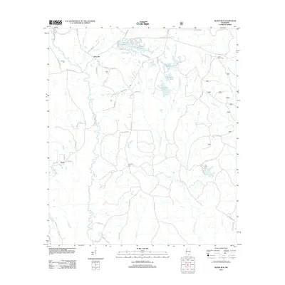
1982 Airey
Stone County, MS
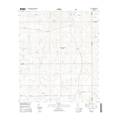
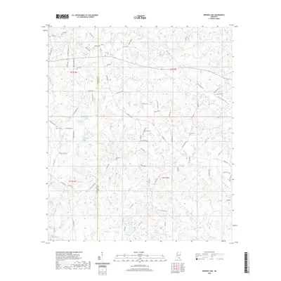
1982 Beatrice
Stone County, MS
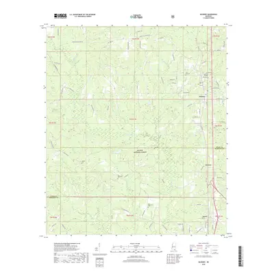
1982 McHenry
Stone County, MS
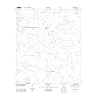
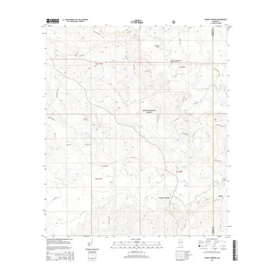
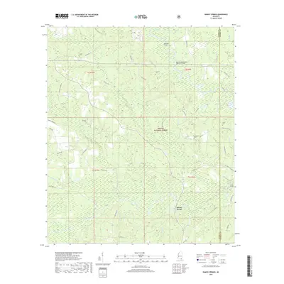
1982 Ramsey Springs
Stone County, MS
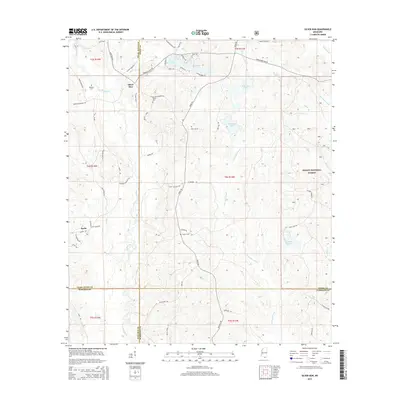
1982 Silver Run
Stone County, MS
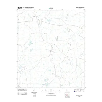
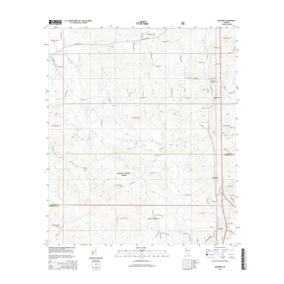
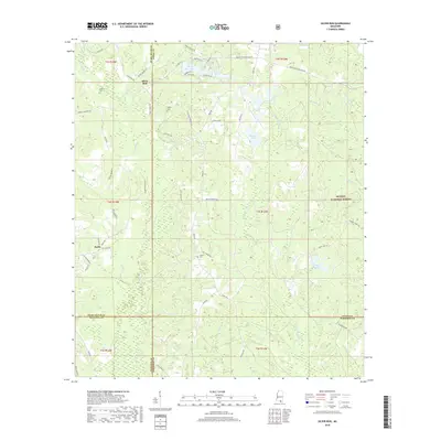
1983 Browns Lake
Stone County, MS
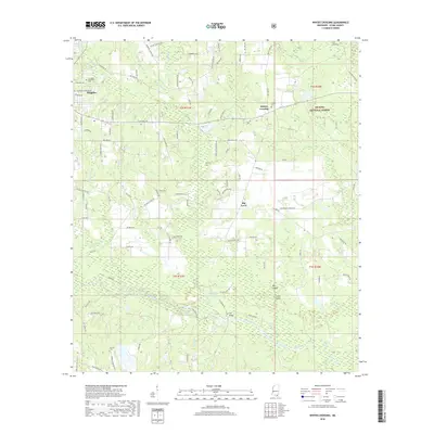
1983 Whites Crossing
Stone County, MS
2000 Ramsey Springs
Stone County, MS
2000 Silver Run
Stone County, MS
2000 Whites Crossing
Stone County, MS
2012 Airey
Stone County, MS
2012 Beatrice
Stone County, MS
2012 Browns Lake
Stone County, MS
2012 McHenry
Stone County, MS
2012 Ramsey Springs
Stone County, MS
2012 Silver Run
Stone County, MS
2012 Whites Crossing
Stone County, MS
2015 Airey
Stone County, MS
2015 Beatrice
Stone County, MS
2015 Browns Lake
Stone County, MS
2015 McHenry
Stone County, MS
2015 Ramsey Springs
Stone County, MS
2015 Silver Run
Stone County, MS
2015 Whites Crossing
Stone County, MS
2018 Airey
Stone County, MS
2018 Beatrice
Stone County, MS
2018 Browns Lake
Stone County, MS
2018 McHenry
Stone County, MS
2018 Ramsey Springs
Stone County, MS
2018 Silver Run
Stone County, MS
2018 Whites Crossing
Stone County, MS
2020 Browns Lake
Stone County, MS
2021 Airey
Stone County, MS
2021 Beatrice
Stone County, MS
2021 McHenry
Stone County, MS
2021 Ramsey Springs
Stone County, MS
2021 Silver Run
Stone County, MS
2021 Whites Crossing
Stone County, MS
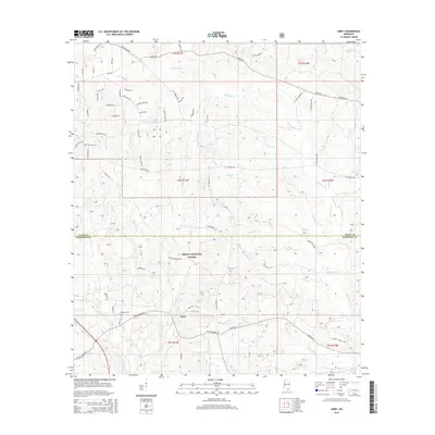
2024 Airey
Stone County, MS
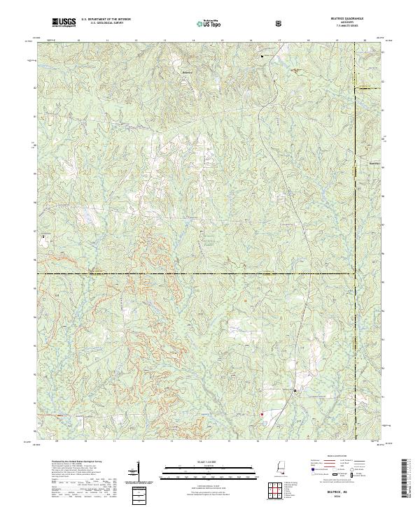
2024 Beatrice
Stone County, MS
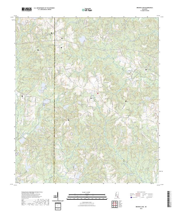
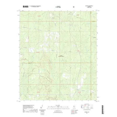
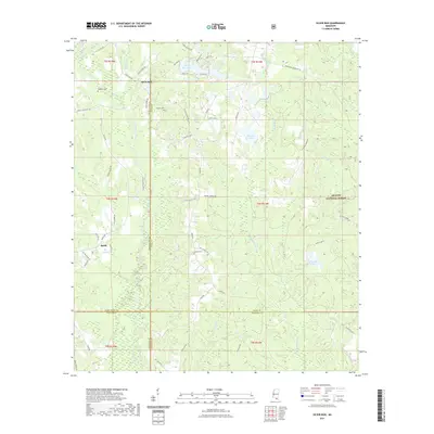
2024 Browns Lake
Stone County, MS
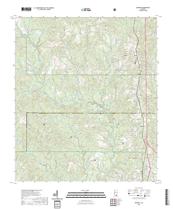
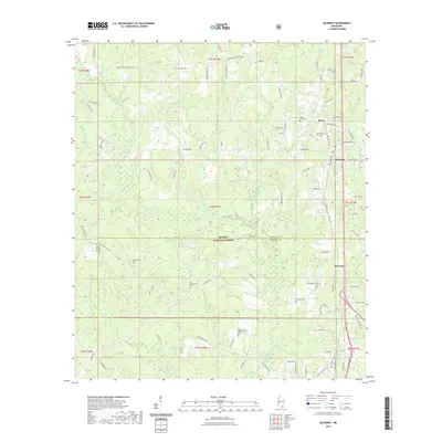
2024 McHenry
Stone County, MS
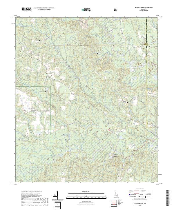
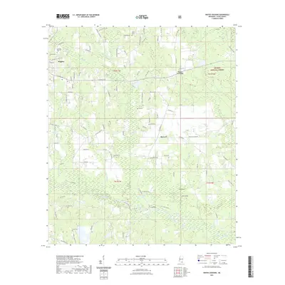
2024 Ramsey Springs
Stone County, MS
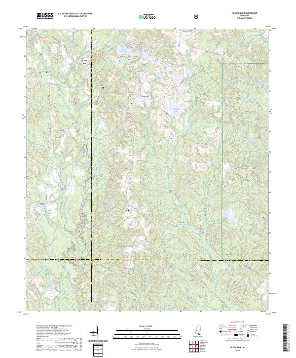
2024 Silver Run
Stone County, MS
2024 Whites Crossing
Stone County, MS