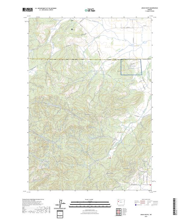
2023 Map of Airlie South
USGS Topo · Published 2023About this map
The small settlement of Airlie anchors the northern reaches of this map, situated near the boundary between Polk and Benton counties. This area transitions from the lower agricultural lands near Staats Hollow into the more complex terrain of the Cardwell Hills and Vineyard Mtn to the south. Historically significant landmarks include the Williams Cem and the expansive grounds of NG Camp Adair Corvallis, indicating the region's mid-century military and civic footprint.
Find a feature on this map
88 named features on this map. Tap any name to fly to it.
Don’t see what you’re looking for? This feature index may not catch every label — zoom into the map to look around manually.
Map Details
Editions of this 2023 Airlie South Map
This is the sole edition of this map. No revisions or reprints were ever made.
Other maps of this area

1913 · Philomath
USGS Topo · 1:31,680

1913 · Oakville
USGS Topo · 1:31,680

1913 · Wells
USGS Topo · 1:31,680

1914 · Independence
USGS Topo · 1:31,680

1914 · Soap Creek
USGS Topo · 1:31,680

1916 · Albany
USGS Topo · 1:62,500

1917 · Salem
USGS Topo · 1:62,500

1921 · Corvallis
USGS Topo · 1:62,500

1922 · Airlie
USGS Topo · 1:31,680

1940 · Salem
USGS Topo · 1:62,500