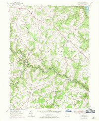
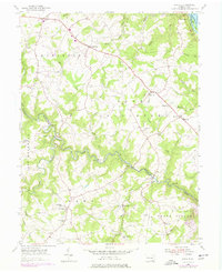
1955 Map of Airville
USGS Topo · Published 1971About this map
The Indian Steps Museum stands on the western bank of the Susquehanna River, marking a landscape of deep river valleys and upland farming communities in York County. This mid-century survey illustrates the rural character of southeastern Pennsylvania, where the North Branch Muddy Creek and South Branch converge near Muddy Creek Forks. The settlement pattern is defined by crossroad villages and local religious centers such as Guinston Ch, McKendree Ch, and Chanceford Ch. Higher elevations like Highrock overlook a network of small runs and creeks, including Otter Creek and Furnace Run, that drain toward the river. The presence of several schools, including the Township Sch and Mt Pleasant Sch, alongside cemeteries such as Chanceford Cem, offers significant detail for genealogists tracing family roots in the townships of Chanceford and Lower Chanceford.
Find a feature on this map
60 named features on this map. Tap any name to fly to it.
Don’t see what you’re looking for? This feature index may not catch every label — zoom into the map to look around manually.
Map Details
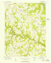
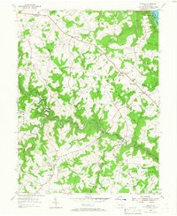
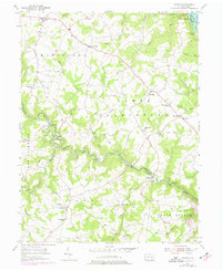
Editions of this 1955 Airville Map
5 editions found
Other maps of this area

1900 · Parkton
USGS Topo · 1:62,500

1901 · Belair
USGS Topo · 1:62,500

1902 · Parkton
USGS Topo · 1:62,500

1908 · York
USGS Topo · 1:62,500

1910 · York
USGS Topo · 1:62,500

1912 · Mc Calls Ferry
USGS Topo · 1:62,500

1942 · Bel Air
USGS Topo · 1:62,500

1943 · Mc Calls Ferry
USGS Topo · 1:62,500

1944 · Norrisville
USGS Topo · 1:31,680

1945 · Bel Air
USGS Topo · 1:62,500
Featured Places
- Martic Township, PA
- East Hopewell Township, PA
- Lower Chanceford Township, PA
- Peach Bottom Township, PA
- Chanceford Township, PA