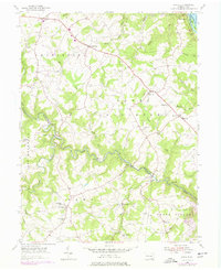
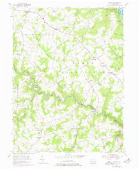
1955 Map of Airville
USGS Topo · Published 1977About this map
Muddy Creek Forks serves as a focal point in this southern York County landscape, where the winding waters of Muddy Creek meet the steel of the Maryland and Pennsylvania railroad. The terrain is deeply incised by the drainage systems of Otter Creek and the many branches of Muddy Creek, creating a complex series of ridges and valleys that historically dictated the placement of rural settlements like Brogue, Collinsville, and Airville.
Find a feature on this map
54 named features on this map. Tap any name to fly to it.
Don’t see what you’re looking for? This feature index may not catch every label — zoom into the map to look around manually.
Map Details
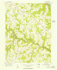
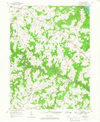
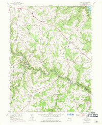
Editions of this 1955 Airville Map
5 editions found
Other maps of this area

1900 · Parkton
USGS Topo · 1:62,500

1901 · Belair
USGS Topo · 1:62,500

1902 · Parkton
USGS Topo · 1:62,500

1908 · York
USGS Topo · 1:62,500

1910 · York
USGS Topo · 1:62,500

1912 · Mc Calls Ferry
USGS Topo · 1:62,500

1942 · Bel Air
USGS Topo · 1:62,500

1943 · Mc Calls Ferry
USGS Topo · 1:62,500

1944 · Norrisville
USGS Topo · 1:31,680

1945 · Bel Air
USGS Topo · 1:62,500
Featured Places
- Martic Township, PA
- East Hopewell Township, PA
- Lower Chanceford Township, PA
- Peach Bottom Township, PA
- Chanceford Township, PA