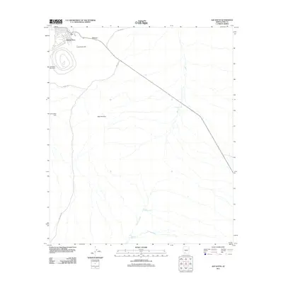
2011 Map of Ajo South
USGS Topo · Published 2011About this map
Mexican Town and Rowood sit at the northern edge of this arid landscape, serving as historical satellites to the larger mining community of Ajo. The landscape is dominated by industrial and natural landforms, including the prominent Concentrator Hill and the massive open pit near Arkansas Mountain, reflecting the area's deep ties to the copper industry. To the south, the terrain transitions into a drainage network defined by the Cuerda de Lena and Gunsight Wash, where desert water sources like Eberling Tank and Camerons Tank provided critical infrastructure in an otherwise parched environment. Transportation through this Sonoran Desert region relies on historical routes such as Bates Well Rd and the Scenic Loop, which skirt distinctive geological landmarks like Locomotive Rock and Black Mountain. Near the southern boundary, the small settlement of Gunsight marks the intersection of these washes and the roadway, illustrating the isolated settlement patterns of Pima County.
Find a feature on this map
17 named features on this map. Tap any name to fly to it.
Don’t see what you’re looking for? This feature index may not catch every label — zoom into the map to look around manually.
Map Details
Editions of this 2011 Ajo South Map
This is the sole edition of this map. No revisions or reprints were ever made.
Other maps of this area

1932 · Ajo
USGS Topo · 1:62,500

1934 · Ajo
USGS Topo · 1:62,500

1953 · Ajo
USGS Topo · 1:250,000

1957 · Ajo
USGS Topo · 1:250,000

1958 · Ajo
USGS Topo · 1:250,000

1962 · Ajo
USGS Topo · 1:250,000

1963 · Ajo
USGS Topo · 1:250,000

1963 · Ajo
USGS Topo · 1:62,500

1963 · Sikort Chuapo Mts
USGS Topo · 1:62,500

1963 · Mt. Ajo
USGS Topo · 1:62,500