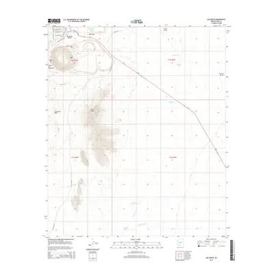
2014 Map of Ajo South
USGS Topo · Published 2014About this map
Mexican Town and Rowood sit at the northern edge of this desert landscape, directly adjacent to the industrial features of the copper mining district. The topographic data captures the engineered landforms of Concentrator Hill and the South Dam Tailings Pond, illustrating the massive scale of earth-moving operations that have defined the local economy and geography. South of the main settlements, the terrain rises sharply into the Little Ajo Mountains, featuring distinctive landmarks such as Locomotive Rock and Black Mtn.
Find a feature on this map
37 named features on this map. Tap any name to fly to it.
Don’t see what you’re looking for? This feature index may not catch every label — zoom into the map to look around manually.
Map Details
Editions of this 2014 Ajo South Map
This is the sole edition of this map. No revisions or reprints were ever made.
Other maps of this area

1932 · Ajo
USGS Topo · 1:62,500

1934 · Ajo
USGS Topo · 1:62,500

1953 · Ajo
USGS Topo · 1:250,000

1957 · Ajo
USGS Topo · 1:250,000

1958 · Ajo
USGS Topo · 1:250,000

1962 · Ajo
USGS Topo · 1:250,000

1963 · Ajo
USGS Topo · 1:250,000

1963 · Ajo
USGS Topo · 1:62,500

1963 · Sikort Chuapo Mts
USGS Topo · 1:62,500

1963 · Mt. Ajo
USGS Topo · 1:62,500