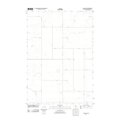
2012 Map of Akaska NW
USGS Topo · Published 2012About this map
Walworth County farmland near the Missouri River breaks defines this landscape in the early 21st century. The area is organized by an exacting grid of section-line roads, such as 300th Ave and 134th St, which facilitate access to the vast agricultural tracts of the Missouri Plateau. This 2012 survey by the U.S. Geological Survey illustrates the intersection of modern cartography and traditional rural land use. The drainage patterns and intermittent water bodies shown between 297th Ave and 302nd Ave reflect the semi-arid environment and natural topography of north-central South Dakota. While few named settlements appear on this specific quadrant, the road network including 135th St and 139th St provides the essential structure for tracing property boundaries and land use in this sparsely populated region.
Find a feature on this map
15 named features on this map. Tap any name to fly to it.
Don’t see what you’re looking for? This feature index may not catch every label — zoom into the map to look around manually.
Map Details
Editions of this 2012 Akaska NW Map
This is the sole edition of this map. No revisions or reprints were ever made.
Other maps of this area

1953 · McIntosh
USGS Topo · 1:250,000

1958 · McIntosh
USGS Topo · 1:250,000

1967 · Glenham
USGS Topo · 1:24,000

1967 · Selby SW
USGS Topo · 1:24,000

1967 · Selby
USGS Topo · 1:24,000

1968 · Moreau NE
USGS Topo · 1:24,000

1968 · Akaska NW
USGS Topo · 1:24,000

1968 · Akaska SW
USGS Topo · 1:24,000

1968 · Akaska
USGS Topo · 1:24,000

1968 · Moreau SE
USGS Topo · 1:24,000