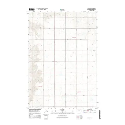
2015 Map of Akaska NW
USGS Topo · Published 2015About this map
Walworth County land patterns remain defined by the Public Land Survey System in this region of northern South Dakota. The topography is shaped by a series of subtle rises and depressions, where small water bodies and seasonal basins dot the sections between gravel roads and section lines. Modern transportation follows the rigid grid of the prairie, with 297th Ave and 300th Ave serving as primary north-south corridors. Route 1804 cuts across the center-west, providing a vital connection through the agricultural landscape. The township boundaries of t123n r78w and t123n r77w meet in a series of open fields and grazing lands, reflecting a rural environment where development is sparse and centered on the maintenance of large-scale farming operations.
Find a feature on this map
21 named features on this map. Tap any name to fly to it.
Don’t see what you’re looking for? This feature index may not catch every label — zoom into the map to look around manually.
Map Details
Editions of this 2015 Akaska NW Map
This is the sole edition of this map. No revisions or reprints were ever made.
Other maps of this area

1953 · McIntosh
USGS Topo · 1:250,000

1958 · McIntosh
USGS Topo · 1:250,000

1967 · Glenham
USGS Topo · 1:24,000

1967 · Selby SW
USGS Topo · 1:24,000

1967 · Selby
USGS Topo · 1:24,000

1968 · Moreau NE
USGS Topo · 1:24,000

1968 · Akaska NW
USGS Topo · 1:24,000

1968 · Akaska SW
USGS Topo · 1:24,000

1968 · Akaska
USGS Topo · 1:24,000

1968 · Moreau SE
USGS Topo · 1:24,000