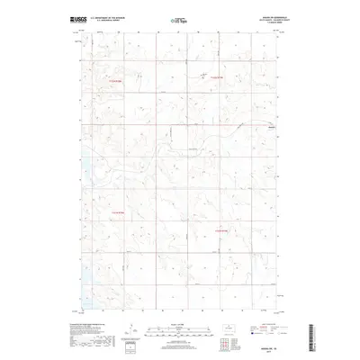
2017 Map of Akaska SW
USGS Topo · Published 2017About this map
Old Zion Cem stands as a quiet marker of early settlement in this corner of Walworth County, located north of the winding course of Swan Creek. This 2017 survey reflects the expansive prairie landscape of central South Dakota, where the town of Akaska is situated near the confluence of local drainages. The terrain is defined by the erosion patterns of Pero Cr and Rieger Cr, which feed into the larger creek system as it makes its way toward the Missouri River basin. The southwestern portion of the map captures the northern reach of Lake Oahe, an artificial reservoir that has fundamentally altered the local hydrology. A grid of section-line roads, including Sloan Creek Rd and Swan Creek Rd, provides the primary infrastructure for this ranching and agricultural region, following the Public Land Survey System divisions that have organized the territory since the late 19th century.
Find a feature on this map
19 named features on this map. Tap any name to fly to it.
Don’t see what you’re looking for? This feature index may not catch every label — zoom into the map to look around manually.
Map Details
Editions of this 2017 Akaska SW Map
This is the sole edition of this map. No revisions or reprints were ever made.
Other maps of this area

1953 · McIntosh
USGS Topo · 1:250,000

1958 · McIntosh
USGS Topo · 1:250,000

1968 · Moreau NE
USGS Topo · 1:24,000

1968 · Akaska NW
USGS Topo · 1:24,000

1968 · Akaska SW
USGS Topo · 1:24,000

1968 · Akaska
USGS Topo · 1:24,000

1968 · Moreau SE
USGS Topo · 1:24,000

1968 · Akaska NE
USGS Topo · 1:24,000

1969 · Four Bear Creek
USGS Topo · 1:24,000

1970 · Steamboat Creek
USGS Topo · 1:24,000