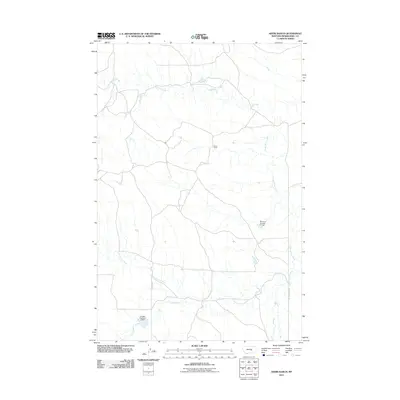
2011 Map of Akers Ranch
USGS Topo · Published 2011About this map
Akers Ranch serves as a central landmark in this portion of Musselshell County, where the landscape is defined by the drainage systems of the Montana plains. The terrain is intricately etched by North Willow Creek and Howard Creek, showing a rural environment managed for water resources. Significant man-made features like Montana Number 31 Dam and Hougan Number 5 Dam indicate the local importance of irrigation and water storage in this arid region. The sparse network of routes, including County Rd and Ragged Point Rd, connects isolated homesteads and ranching operations, reflecting the long-standing land-use patterns of central Montana in the early 21st century. Sand Creek further illustrates the complex seasonal waterways that crisscross the high plains.
Find a feature on this map
8 named features on this map. Tap any name to fly to it.
Don’t see what you’re looking for? This feature index may not catch every label — zoom into the map to look around manually.
Map Details
Editions of this 2011 Akers Ranch Map
This is the sole edition of this map. No revisions or reprints were ever made.
Other maps of this area

1954 · Forsyth
USGS Topo · 1:250,000

1954 · Roundup
USGS Topo · 1:250,000

1957 · Forsyth
USGS Topo · 1:250,000

1958 · Roundup
USGS Topo · 1:250,000

1958 · Forsyth
USGS Topo · 1:250,000

1962 · Queens Point
USGS Topo · 1:24,000

1962 · Maxwell Ranch
USGS Topo · 1:24,000

1962 · Melstone NW
USGS Topo · 1:24,000

1963 · Kelley
USGS Topo · 1:24,000

1963 · Musselshell
USGS Topo · 1:24,000