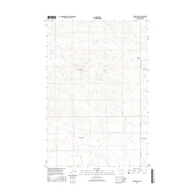
2017 Map of Akers Ranch
USGS Topo · Published 2017About this map
Akers Ranch serves as a primary reference point in this corner of Musselshell County, situated near the waters of Arkansas Spring. The landscape is defined by the drainage patterns of several seasonal and perennial waterways, including the winding course of Howard Cr and the prominent Howard Coulee to the northeast. Transportation through this high-plains terrain relies on a sparse network of rural routes, most notably Akers Rd and the north-south alignment of Ragged Point Rd. The map detail captures the intersection of multiple township and range boundaries, highlighting the importance of cattle ranching and water access in the Montana interior. Other hydrological features like N Willow Cr and Sand Cr further illustrate the topographic character of the region as it was surveyed in the early 21st century.
Find a feature on this map
12 named features on this map. Tap any name to fly to it.
Don’t see what you’re looking for? This feature index may not catch every label — zoom into the map to look around manually.
Map Details
Editions of this 2017 Akers Ranch Map
This is the sole edition of this map. No revisions or reprints were ever made.
Other maps of this area

1954 · Forsyth
USGS Topo · 1:250,000

1954 · Roundup
USGS Topo · 1:250,000

1957 · Forsyth
USGS Topo · 1:250,000

1958 · Roundup
USGS Topo · 1:250,000

1958 · Forsyth
USGS Topo · 1:250,000

1962 · Queens Point
USGS Topo · 1:24,000

1962 · Maxwell Ranch
USGS Topo · 1:24,000

1962 · Melstone NW
USGS Topo · 1:24,000

1963 · Kelley
USGS Topo · 1:24,000

1963 · Musselshell
USGS Topo · 1:24,000