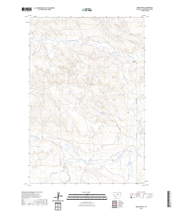
2024 Map of Akers Ranch
USGS Topo · Published 2024About this map
Arkansas Spring serves as a vital water source in this dry section of Musselshell County, where the landscape is defined by the drainage patterns of Howard Creek and North Willow Creek. The terrain is characterized by deep erosional features like Howard Coulee, which cuts through the high ground in the northern portion of the township. Local transportation is limited to a few established routes, including Ragged Point Rd and Akers Rd, which provide access to the dispersed ranching operations of this Montana interior. The layout of Sand Creek in the south further illustrates the seasonal water flow typical of the region. This 2024 data represents a modern view of a sparsely populated ranching territory, showing how few physical landmarks punctuate the open range outside of these critical named springs and creek beds.
Find a feature on this map
11 named features on this map. Tap any name to fly to it.
Don’t see what you’re looking for? This feature index may not catch every label — zoom into the map to look around manually.
Map Details
Editions of this 2024 Akers Ranch Map
This is the sole edition of this map. No revisions or reprints were ever made.
Other maps of this area

1954 · Forsyth
USGS Topo · 1:250,000

1954 · Roundup
USGS Topo · 1:250,000

1957 · Forsyth
USGS Topo · 1:250,000

1958 · Roundup
USGS Topo · 1:250,000

1958 · Forsyth
USGS Topo · 1:250,000

1962 · Queens Point
USGS Topo · 1:24,000

1962 · Maxwell Ranch
USGS Topo · 1:24,000

1962 · Melstone NW
USGS Topo · 1:24,000

1963 · Kelley
USGS Topo · 1:24,000

1963 · Musselshell
USGS Topo · 1:24,000