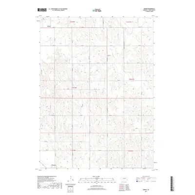
2017 Map of Akron
USGS Topo · Published 2017About this map
Akron and Primrose anchor this Nebraska landscape, where the agricultural grid of Boone County is etched across a complex drainage system. The terrain is defined by the winding paths of Plum Cr and Silver Valley Cr, which carve through the plains and dictate the local topography. For those tracing family histories in this rural stretch, the map identifies key landmarks such as the Akron Cem in the northwest and Dennison Cem further east along Dennison Rd. The intricate network of section-line roads, including Ridge Rd and several designated as Minimum Maintenance Rd, reveals the persistence of early land divisions and the practical realities of travel and transport in this farming region during the early 21st century.
Find a feature on this map
31 named features on this map. Tap any name to fly to it.
Don’t see what you’re looking for? This feature index may not catch every label — zoom into the map to look around manually.
Map Details
Editions of this 2017 Akron Map
This is the sole edition of this map. No revisions or reprints were ever made.
Other maps of this area

1954 · Cedar Rapids
USGS Topo · 1:24,000

1954 · Spalding
USGS Topo · 1:24,000

1954 · Akron
USGS Topo · 1:24,000

1954 · Albion West
USGS Topo · 1:24,000

1954 · Cedar Rapids SE
USGS Topo · 1:24,000

1954 · Spalding SE
USGS Topo · 1:24,000

1955 · Broken Bow
USGS Topo · 1:250,000

1956 · Broken Bow
USGS Topo · 1:250,000

1960 · Spalding 2 SE
USGS Topo · 1:24,000

1963 · Petersburg
USGS Topo · 1:24,000