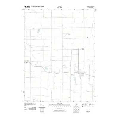
2010 Map of Akron
USGS Topo · Published 2010About this map
Akron serves as the primary hub of this northern Indiana landscape, where a dense network of local roads and water management ditches reflects a long history of agricultural engineering. The town layout is clearly defined, situated north of Town Lake and east of the Independent Order of Odd Fellows Cemetery. To the west, the smaller settlement of Athens is marked by the Mount Hope Athens Cemetery, while the northern reaches include the community of Beaver Dam and Lowman Corner. The terrain is characterized by numerous glacial lakes and man-made drainage systems like Eaton Busenburg Ditch and White Ditch, which channel water toward Chippewanuck Creek. Historical sites such as Millark Millpond and the Nichols Cemetery provide valuable points of reference for genealogists and local historians studying the rural development of Fulton County.
Find a feature on this map
70 named features on this map. Tap any name to fly to it.
Don’t see what you’re looking for? This feature index may not catch every label — zoom into the map to look around manually.
Map Details
Editions of this 2010 Akron Map
This is the sole edition of this map. No revisions or reprints were ever made.
Other maps of this area

1953 · Fort Wayne
USGS Topo · 1:250,000

1953 · Chicago
USGS Topo · 1:250,000

1953 · Danville
USGS Topo · 1:250,000

1953 · Muncie
USGS Topo · 1:250,000

1955 · Danville
USGS Topo · 1:250,000

1956 · Muncie
USGS Topo · 1:250,000

1956 · Danville
USGS Topo · 1:250,000

1956 · Fort Wayne
USGS Topo · 1:250,000

1957 · Chicago
USGS Topo · 1:250,000

1959 · Mentone
USGS Topo · 1:24,000