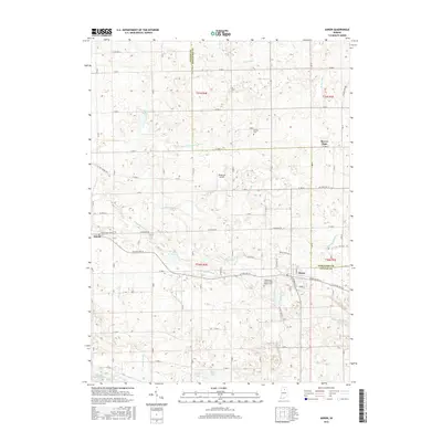
2016 Map of Akron
USGS Topo · Published 2016About this map
The town of Akron anchors the southeastern corner of this northern Indiana landscape, where the border of Fulton and Kosciusko Counties meets. The terrain is defined by a dense network of agricultural drainage systems, including White Ditch, Rickle Ditch, and Bryant Leininger Ditch, which manage the many glacial kettle lakes such as Town Lake, Stinson Lake, and Keesey Lake. These features reveal a classic Midwestern prairie-and-wetland topography converted for intensive farming.
Find a feature on this map
56 named features on this map. Tap any name to fly to it.
Don’t see what you’re looking for? This feature index may not catch every label — zoom into the map to look around manually.
Map Details
Editions of this 2016 Akron Map
This is the sole edition of this map. No revisions or reprints were ever made.
Other maps of this area

1953 · Fort Wayne
USGS Topo · 1:250,000

1953 · Chicago
USGS Topo · 1:250,000

1953 · Danville
USGS Topo · 1:250,000

1953 · Muncie
USGS Topo · 1:250,000

1955 · Danville
USGS Topo · 1:250,000

1956 · Muncie
USGS Topo · 1:250,000

1956 · Danville
USGS Topo · 1:250,000

1956 · Fort Wayne
USGS Topo · 1:250,000

1957 · Chicago
USGS Topo · 1:250,000

1959 · Mentone
USGS Topo · 1:24,000