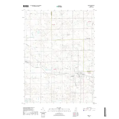
2019 Map of Akron
USGS Topo · Published 2019About this map
Akron and the nearby settlement of Athens anchor this northern Indiana landscape, where the agricultural plains meet a complex network of glacial lakes and drainage ditches. The area is defined by its water management systems, including the Chippewanuck Cr and numerous man-made channels like Graham Ditch and Gast Ditch. These waterways weave between significant natural features such as Lake Sixteen and Town Lake, reflecting the region's history of transforming marshlands into productive farmland.
Find a feature on this map
60 named features on this map. Tap any name to fly to it.
Don’t see what you’re looking for? This feature index may not catch every label — zoom into the map to look around manually.
Map Details
Editions of this 2019 Akron Map
This is the sole edition of this map. No revisions or reprints were ever made.
Other maps of this area

1953 · Fort Wayne
USGS Topo · 1:250,000

1953 · Chicago
USGS Topo · 1:250,000

1953 · Danville
USGS Topo · 1:250,000

1953 · Muncie
USGS Topo · 1:250,000

1955 · Danville
USGS Topo · 1:250,000

1956 · Muncie
USGS Topo · 1:250,000

1956 · Danville
USGS Topo · 1:250,000

1956 · Fort Wayne
USGS Topo · 1:250,000

1957 · Chicago
USGS Topo · 1:250,000

1959 · Mentone
USGS Topo · 1:24,000