
Loading...
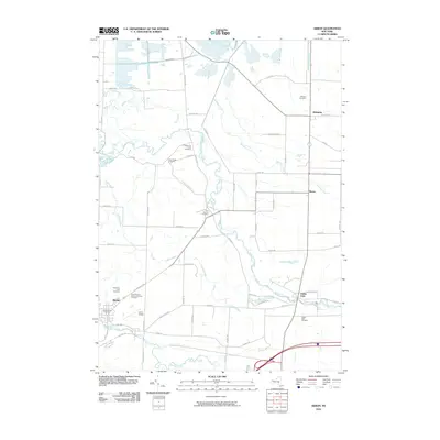
Loading map...2023 Map of Akron
USGS Topo · Published 2023About this map
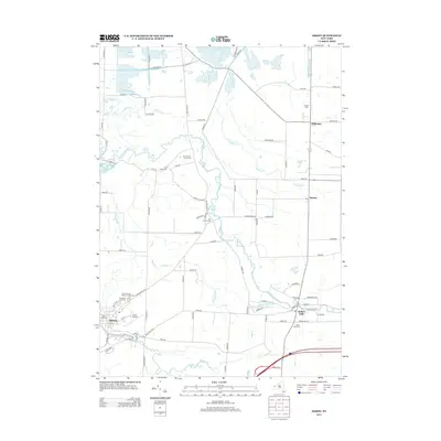
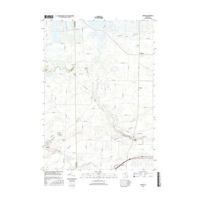
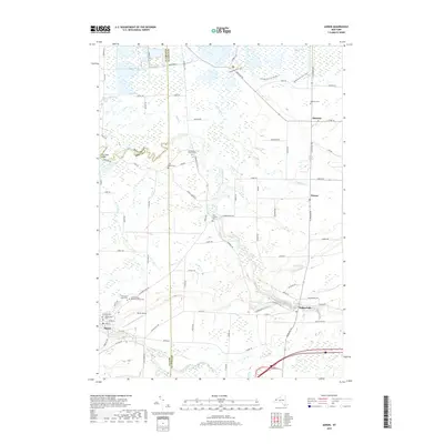
Tonawanda Creek meanders across this borderland where Niagara, Erie, and Genesee Counties meet. The landscape is defined by the transition from the structured village of Akron to the expansive wetlands of the Oak Orchard Swamp. The region maintains its agricultural and rural character, with scattered settlements at Alabama, Basom, and Indian Falls connected by a network of county roads.
Find a feature on this map
88 named features on this map. Tap any name to fly to it.
Don’t see what you’re looking for? This feature index may not catch every label — zoom into the map to look around manually.
Map Details
Date Portrayed2023
Date Published2023
PublisherU.S. Geological Survey
Map TypeTopographic
Scale1:24,000
Physical Dimensions24 x 29 inches
Editions of this 2023 Akron Map
This is the sole edition of this map. No revisions or reprints were ever made.
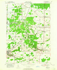
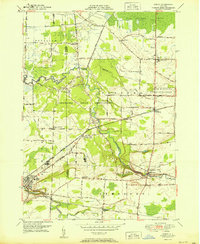
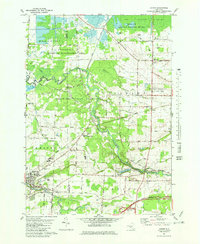
Historical Maps of Newstead Through Time
8 maps found
Featured Locations
Source Details
SourceU.S. Geological Survey
CopyrightPublic Domain