
1948 Map of Depew
USGS Topo · Published 1953About this map
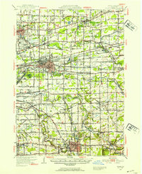
Depew and Lancaster serve as central hubs in this landscape dominated by a dense network of transport and civic infrastructure during the mid-twentieth century. The area east of Buffalo is defined by a massive intersection of rail lines, including the New York Central System, Lehigh Valley, and the Erie Railroad, which helped facilitate the industrial growth of these settlements. Notable regional landmarks such as the Buffalo Municipal Airport and the County Penitentiary near Wende illustrate the expanding utility and institutional footprint of the county at this time.
Find a feature on this map
92 named features on this map. Tap any name to fly to it.
Don’t see what you’re looking for? This feature index may not catch every label — zoom into the map to look around manually.
Map Details
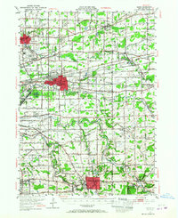
Editions of this 1948 Depew Map
3 editions found
Other maps of this area

1894 · Buffalo
USGS Topo · 1:62,500

1897 · Tonawanda
USGS Topo · 1:62,500

1897 · Medina
USGS Topo · 1:62,500

1897 · Lockport
USGS Topo · 1:62,500

1899 · Niagara
USGS Topo · 1:125,000

1900 · Tonawanda
USGS Topo · 1:62,500

1901 · Buffalo
USGS Topo · 1:62,500

1901 · Tonawanda
USGS Topo · 1:62,500

1902 · Lockport
USGS Topo · 1:62,500

1905 · Attica
USGS Topo · 1:62,500