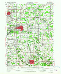
1948 Map of Depew
USGS Topo · Published 1967About this map
Buffalo Municipal Airport stands as a focal point in the developing landscape east of the city, surrounded by a complex network of major railroads including the Erie RR and Lehigh Valley RR. This mid-century survey reveals the transition of Erie County from agrarian townships to suburban corridors, with established settlements like Williamsville and Lancaster anchored by significant institutions such as the County Home and Infirmary and St Marys High Sch. The density of cemeteries, from the St Augustine Cem to the unique Pine Rest Pet Cem, offers valuable data for local genealogists.
Find a feature on this map
76 named features on this map. Tap any name to fly to it.
Don’t see what you’re looking for? This feature index may not catch every label — zoom into the map to look around manually.
Map Details
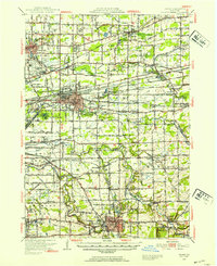
Editions of this 1948 Depew Map
3 editions found

Other maps of this area

1894 · Buffalo
USGS Topo · 1:62,500

1897 · Tonawanda
USGS Topo · 1:62,500

1897 · Medina
USGS Topo · 1:62,500

1897 · Lockport
USGS Topo · 1:62,500

1899 · Niagara
USGS Topo · 1:125,000

1900 · Tonawanda
USGS Topo · 1:62,500

1901 · Buffalo
USGS Topo · 1:62,500

1901 · Tonawanda
USGS Topo · 1:62,500

1902 · Lockport
USGS Topo · 1:62,500

1905 · Attica
USGS Topo · 1:62,500