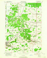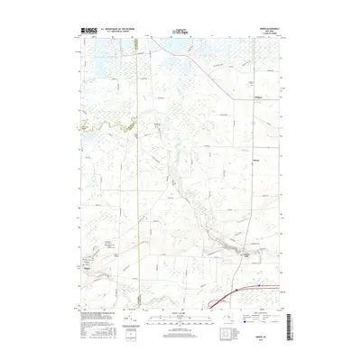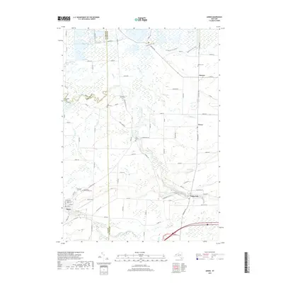
1981 Map of Akron
USGS Topo · Published 1981About this map
Tonawanda Creek meanders across this landscape, dividing the Tonawanda Indian Reservation from the surrounding agricultural and industrial districts of Akron and Alabama. The reservation is anchored by the Council House and the Tonawanda Indian Community Center, reflecting the deep cultural roots and political boundaries of the Erie and Genesee county line. To the south, the village of Akron shows its 1980s industrial footprint with a prominent Quarry, Water Tank, and the nearby Akron Airport.
Find a feature on this map
45 named features on this map. Tap any name to fly to it.
Don’t see what you’re looking for? This feature index may not catch every label — zoom into the map to look around manually.
Map Details
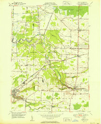
Editions of this 1981 Akron Map
This is the sole edition of this map. No revisions or reprints were ever made.
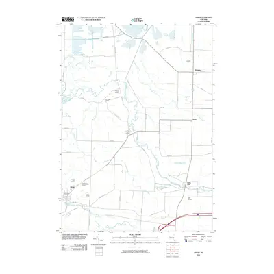
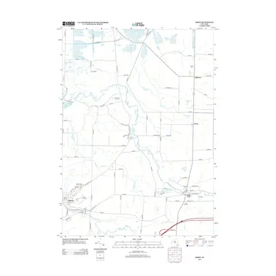
Historical Maps of Newstead Through Time
8 maps found