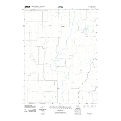
2010 Map of Akron
USGS Topo · Published 2010About this map
The Thompson River meanders through this borderland landscape between Missouri and Iowa, defining a corridor of agricultural history and small settlements. The map highlights the town of Akron and the nearby New Buda, a location with deep ties to Hungarian immigrant history. The distribution of burial sites across the township is particularly dense for a rural quadrangle, offering significant genealogical value through locations such as the Catholic Cemetery, Akron Cemetery, and Downey Cemetery.
Find a feature on this map
47 named features on this map. Tap any name to fly to it.
Don’t see what you’re looking for? This feature index may not catch every label — zoom into the map to look around manually.
Map Details
Editions of this 2010 Akron Map
This is the sole edition of this map. No revisions or reprints were ever made.
Other maps of this area

1945 · Lamoni
USGS Topo · 1:62,500

1946 · Princeton
USGS Topo · 1:62,500

1947 · Lamoni
USGS Topo · 1:62,500

1947 · Blythedale
USGS Topo · 1:62,500

1948 · Princeton
USGS Topo · 1:62,500

1954 · Centerville
USGS Topo · 1:250,000

1957 · Centerville
USGS Topo · 1:250,000

1958 · Centerville
USGS Topo · 1:250,000

1964 · Pleasanton
USGS Topo · 1:24,000

1964 · Leon
USGS Topo · 1:24,000