Loading...
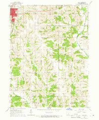
Loading map...1964 Map of Leon
USGS Topo · Published 1966About this map
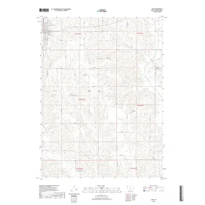
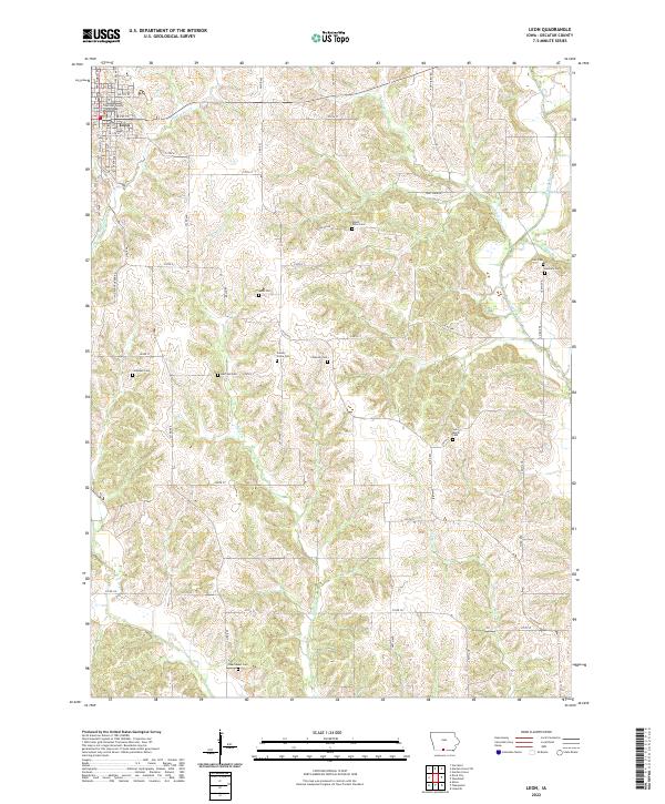
The Decatur County seat of Leon serves as the focal point for this mid-century survey, showing the town's grid at a time when the C B & Q railroad still provided a primary transport link through the region. Beyond the town limits, the landscape transitions into the rolling drainages of the Weldon River and the Little River, where the terrain is heavily marked by the townships of Center, Eden, and Woodland.
Find a feature on this map
32 named features on this map. Tap any name to fly to it.
Don’t see what you’re looking for? This feature index may not catch every label — zoom into the map to look around manually.
Map Details
Date Portrayed1964
Date Published1966
PublisherU.S. Geological Survey
Map TypeTopographic
Scale1:24,000
Physical Dimensions22 x 26.8 inches
Editions of this 1964 Leon Map
This is the sole edition of this map. No revisions or reprints were ever made.
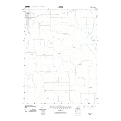
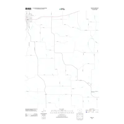
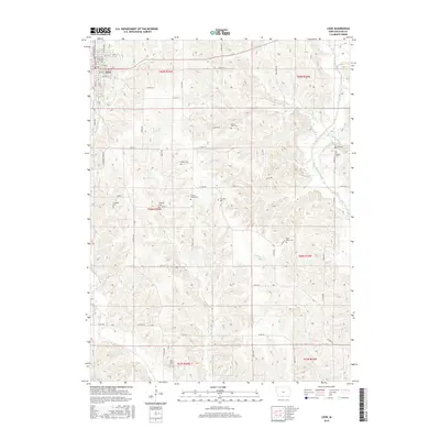
Historical Maps of Leon Through Time
7 maps found

Featured Locations
Source Details
SourceU.S. Geological Survey
CopyrightPublic Domain