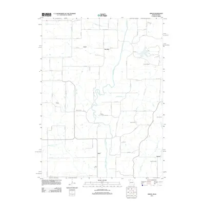
2012 Map of Akron
USGS Topo · Published 2012About this map
The Thompson River winds south through this borderland between Iowa and Missouri, anchoring a landscape defined by small river settlements and family burying grounds. The small communities of New Buda and Akron serve as focal points in an area where the grid of rural roads, such as Dale Miller Rd and State Line Rd, intersects with the natural meandering of waterways like Jefferies Creek and Conner Branch.
Find a feature on this map
71 named features on this map. Tap any name to fly to it.
Don’t see what you’re looking for? This feature index may not catch every label — zoom into the map to look around manually.
Map Details
Editions of this 2012 Akron Map
This is the sole edition of this map. No revisions or reprints were ever made.
Other maps of this area

1945 · Lamoni
USGS Topo · 1:62,500

1946 · Princeton
USGS Topo · 1:62,500

1947 · Lamoni
USGS Topo · 1:62,500

1947 · Blythedale
USGS Topo · 1:62,500

1948 · Princeton
USGS Topo · 1:62,500

1954 · Centerville
USGS Topo · 1:250,000

1957 · Centerville
USGS Topo · 1:250,000

1958 · Centerville
USGS Topo · 1:250,000

1964 · Pleasanton
USGS Topo · 1:24,000

1964 · Leon
USGS Topo · 1:24,000