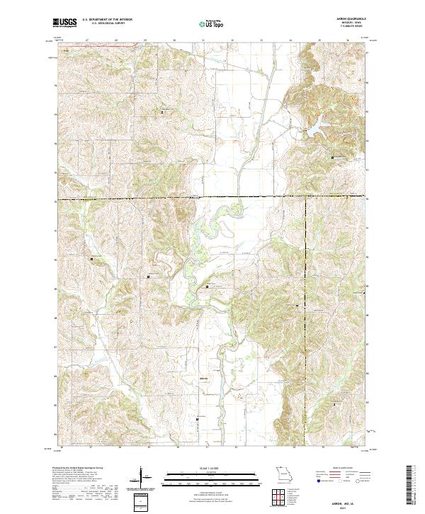
2021 Map of Akron
USGS Topo · Published 2021About this map
Akron sits at the heart of this landscape along the Thompson River, marking a quiet corner where northern Missouri meets the Iowa border. The geography is defined by a dense concentration of family and community burial grounds, such as New Buda Cem and Catholic Cem, which speak to the deep-rooted genealogical history of the surrounding townships. The intricate network of local drainage, including Stone Quarry Cr and Jefferies Cr, carves the terrain into the distinct ridges and valleys characteristic of the Harrison County and Mercer County line.
Find a feature on this map
50 named features on this map. Tap any name to fly to it.
Don’t see what you’re looking for? This feature index may not catch every label — zoom into the map to look around manually.
Map Details
Editions of this 2021 Akron Map
This is the sole edition of this map. No revisions or reprints were ever made.
Other maps of this area

1945 · Lamoni
USGS Topo · 1:62,500

1946 · Princeton
USGS Topo · 1:62,500

1947 · Lamoni
USGS Topo · 1:62,500

1947 · Blythedale
USGS Topo · 1:62,500

1948 · Princeton
USGS Topo · 1:62,500

1954 · Centerville
USGS Topo · 1:250,000

1957 · Centerville
USGS Topo · 1:250,000

1958 · Centerville
USGS Topo · 1:250,000

1964 · Pleasanton
USGS Topo · 1:24,000

1964 · Leon
USGS Topo · 1:24,000