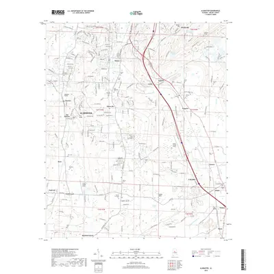
2018 Map of Alabaster
USGS Topo · Published 2018About this map
Alabaster and its surrounding Shelby County communities are defined by a complex network of residential expansion and preserved rural heritage. The terrain is marked by the winding courses of Buck Creek and the Little Cahaba River, which carve through the Cahaba Valley and past prominent elevations like Double Mtn and Locust Ridge. The map documents the spatial relationship between established centers like Pelham and Calera and smaller, localized settlements such as Siluria, Saginaw, and Underwood.
Find a feature on this map
212 named features on this map. Tap any name to fly to it.
Don’t see what you’re looking for? This feature index may not catch every label — zoom into the map to look around manually.
Map Details
Editions of this 2018 Alabaster Map
This is the sole edition of this map. No revisions or reprints were ever made.
Other maps of this area

1890 · Bessemer
USGS Topo · 1:125,000

1892 · Bessemer
USGS Topo · 1:125,000

1905 · Bessemer Iron District
USGS Topo · 1:62,500

1906 · Vandiver
USGS Topo · 1:62,500

1907 · Bessemer Special
USGS Topo · 1:62,500

1908 · Vandiver
USGS Topo · 1:62,500

1909 · Columbiana
USGS Topo · 1:62,500

1910 · Montevallo
USGS Topo · 1:62,500

1911 · Columbiana
USGS Topo · 1:62,500

1953 · Birmingham
USGS Topo · 1:250,000