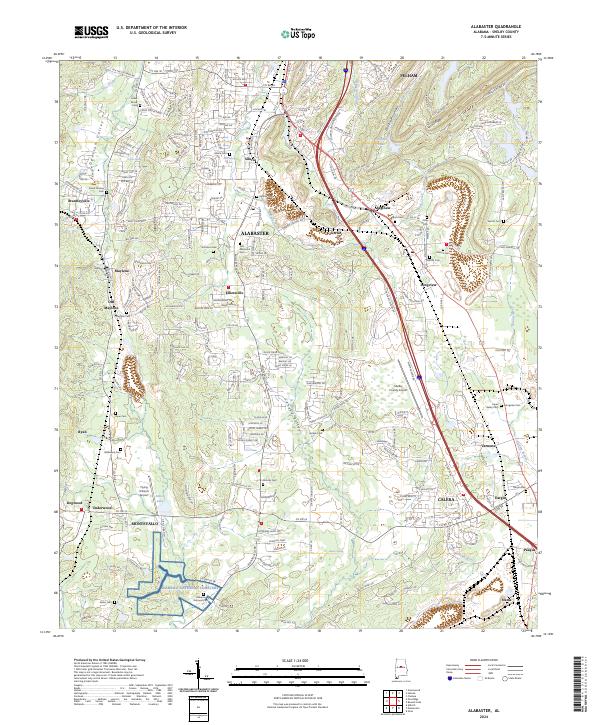
2024 Map of Alabaster
USGS Topo · Published 2024About this map
The corridor between Pelham and Calera is defined by the suburban and industrial growth of Shelby County, centered on the city of Alabaster. This modern topography shows the transition from historic mining and mill communities like Siluria and Maylene into a landscape of dense residential development and regional infrastructure. The geography is shaped by Possum Valley and the Cahaba Valley, with I-65 serving as the primary transit artery alongside older paths like the Little Cahaba River.
Find a feature on this map
60 named features on this map. Tap any name to fly to it.
Don’t see what you’re looking for? This feature index may not catch every label — zoom into the map to look around manually.
Map Details
Editions of this 2024 Alabaster Map
This is the sole edition of this map. No revisions or reprints were ever made.
Other maps of this area

1890 · Bessemer
USGS Topo · 1:125,000

1892 · Bessemer
USGS Topo · 1:125,000

1905 · Bessemer Iron District
USGS Topo · 1:62,500

1906 · Vandiver
USGS Topo · 1:62,500

1907 · Bessemer Special
USGS Topo · 1:62,500

1908 · Vandiver
USGS Topo · 1:62,500

1909 · Columbiana
USGS Topo · 1:62,500

1910 · Montevallo
USGS Topo · 1:62,500

1911 · Columbiana
USGS Topo · 1:62,500

1953 · Birmingham
USGS Topo · 1:250,000