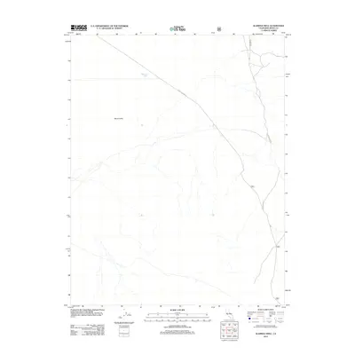
2012 Map of Alameda Well
USGS Topo · Published 2012About this map
Alameda Well stands as a primary landmark in this arid portion of the Mono Valley within Mono County. The landscape is defined by the high-altitude desert environment of eastern California, where water sources like the well were historically vital for transit and livestock. The 2012 survey illustrates a network of specialized routes and tracks, including the diagonal path of Dobie Meadows Rd crossing the valley floor and the Huntoon Spur navigating the eastern terrain. Several forest service and local roads, such as 3n01 and 4n01, provide the primary infrastructure through this sparsely settled region. The map captures the subtle drainage patterns and topography characteristic of the Great Basin's western edge, documenting the essential corridors that connect these remote points of interest.
Find a feature on this map
6 named features on this map. Tap any name to fly to it.
Don’t see what you’re looking for? This feature index may not catch every label — zoom into the map to look around manually.
Map Details
Editions of this 2012 Alameda Well Map
This is the sole edition of this map. No revisions or reprints were ever made.
Other maps of this area

1909 · Hawthorne
USGS Topo · 1:250,000

1911 · Hawthorne
USGS Topo · 1:250,000

1914 · Mt. Morrison
USGS Topo · 1:125,000

1915 · Hawthorne
USGS Topo · 1:250,000

1947 · Mariposa
USGS Topo · 1:250,000

1948 · Walker Lake
USGS Topo · 1:250,000

1948 · Mariposa
USGS Topo · 1:250,000

1957 · Walker Lake
USGS Topo · 1:250,000

1957 · Mariposa
USGS Topo · 1:250,000

1958 · Trench Canyon
USGS Topo · 1:62,500