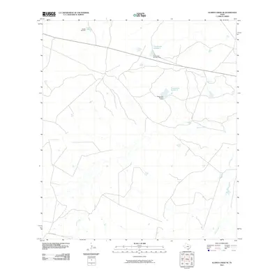
2010 Map of Alamito Creek NE
USGS Topo · Published 2010About this map
Becerra Creek and Salado Creek wind through this corner of Webb County, defining the drainage patterns in a landscape focused on water management and ranching access. This 2010 survey shows a network of man-made reservoirs essential for the arid South Texas environment, including Nunley Lake and Nunley Lake Number 2, each supported by their respective engineering structures like the Nunley Lake Number 2 Dam. Transport in the southern section of the quadrangle is anchored by Gallaghan Rd, while a significant east-west utility or road corridor cuts through the northern half, connecting the various impoundments such as Traylor Lake Number 2. The distribution of these tanks and dams illustrates the late 20th and early 21st-century land use in the brush country, where reliable water sources are the primary landmarks.
Find a feature on this map
9 named features on this map. Tap any name to fly to it.
Don’t see what you’re looking for? This feature index may not catch every label — zoom into the map to look around manually.
Map Details
Editions of this 2010 Alamito Creek NE Map
This is the sole edition of this map. No revisions or reprints were ever made.
Other maps of this area

1929 · Cotulla
USGS Topo · 1:125,000

1953 · Crystal City
USGS Topo · 1:250,000

1955 · Crystal City
USGS Topo · 1:250,000

1956 · Becerra
USGS Topo · 1:62,500

1956 · Piedra Creek
USGS Topo · 1:62,500

1956 · Las Mujeres
USGS Topo · 1:62,500

1956 · Laredo
USGS Topo · 1:250,000

1957 · Caiman Creek
USGS Topo · 1:62,500

1961 · Crystal City
USGS Topo · 1:250,000

1968 · Crystal City
USGS Topo · 1:250,000