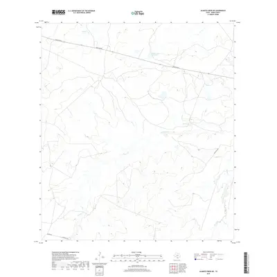
2019 Map of Alamito Creek NE
USGS Topo · Published 2019About this map
Nunley Lake and Traylor Lake Number 2 sit as rare permanent water points in this arid reach of the Rio Grande basin in Webb County. The landscape is defined by the winding drainage systems of Becerra Cr and Salado Cr, which cut through the undulating brush country typical of south Texas. Access to this territory is primarily limited to a network of local thoroughfares including Ranch Rd 863 in the north and the intersection of Becerra Rd and Gallaghan Rd in the southwest corner. The 2019 survey illustrates a vast, sparsely populated area where the placement of small lakes and creek beds likely indicates long-standing ranching operations and natural water collection sites in an otherwise dry environment.
Find a feature on this map
8 named features on this map. Tap any name to fly to it.
Don’t see what you’re looking for? This feature index may not catch every label — zoom into the map to look around manually.
Map Details
Editions of this 2019 Alamito Creek NE Map
This is the sole edition of this map. No revisions or reprints were ever made.
Other maps of this area

1929 · Cotulla
USGS Topo · 1:125,000

1953 · Crystal City
USGS Topo · 1:250,000

1955 · Crystal City
USGS Topo · 1:250,000

1956 · Becerra
USGS Topo · 1:62,500

1956 · Piedra Creek
USGS Topo · 1:62,500

1956 · Las Mujeres
USGS Topo · 1:62,500

1956 · Laredo
USGS Topo · 1:250,000

1957 · Caiman Creek
USGS Topo · 1:62,500

1961 · Crystal City
USGS Topo · 1:250,000

1968 · Crystal City
USGS Topo · 1:250,000