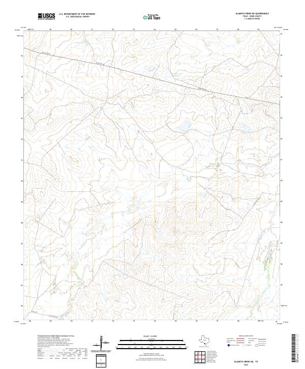
2022 Map of Alamito Creek NE
USGS Topo · Published 2022About this map
Nunley Lake and Traylor Lake Number 2 sit at the northern edge of this landscape, serving as critical water resources in an arid brush country region of Webb County. The terrain is defined by the winding paths of Becerra Cr and Salado Cr, which drain a network of draws and ridges across the central and eastern portions of the map. This modern survey reflects the persistent ranching character of the land, where movement is facilitated by a sparse grid of secondary routes like Ranch Rd 863 and Becerra Rd. The lack of concentrated settlements or industrial footprints highlights the region's continued use for large-scale land holdings and watershed management. Detailed topography reveals the complex drainage patterns that shape this corner of South Texas, providing a clear record of the area's rural road network and hydrological features as they existed in the early 2020s.
Find a feature on this map
8 named features on this map. Tap any name to fly to it.
Don’t see what you’re looking for? This feature index may not catch every label — zoom into the map to look around manually.
Map Details
Editions of this 2022 Alamito Creek NE Map
This is the sole edition of this map. No revisions or reprints were ever made.
Other maps of this area

1929 · Cotulla
USGS Topo · 1:125,000

1953 · Crystal City
USGS Topo · 1:250,000

1955 · Crystal City
USGS Topo · 1:250,000

1956 · Becerra
USGS Topo · 1:62,500

1956 · Piedra Creek
USGS Topo · 1:62,500

1956 · Las Mujeres
USGS Topo · 1:62,500

1956 · Laredo
USGS Topo · 1:250,000

1957 · Caiman Creek
USGS Topo · 1:62,500

1961 · Crystal City
USGS Topo · 1:250,000

1968 · Crystal City
USGS Topo · 1:250,000