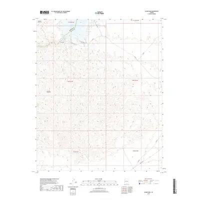
2018 Map of Alamo Dam
USGS Topo · Published 2018About this map
The Alamo Dam regulates the desert waters where the Bill Williams River meets a complex network of seasonal drainages along the Mohave and La Paz county line. This 2018 survey illustrates the impoundment of Alamo Lake, a critical water management feature situated between the Rawhide Mountains to the north and the Buckskin Mountains to the south. The landscape is defined by its hydrologic patterns, with numerous named washes such as Ives Wash, Spenser Wash, and Cunningham Wash cutting through the arid terrain. Access to this remote infrastructure is shown via a network of service roads, including the Alamo Dam Access Rd and Park Rd, which navigate the steep topography surrounding the reservoir and its dry-creek tributaries.
Find a feature on this map
22 named features on this map. Tap any name to fly to it.
Don’t see what you’re looking for? This feature index may not catch every label — zoom into the map to look around manually.
Map Details
Editions of this 2018 Alamo Dam Map
This is the sole edition of this map. No revisions or reprints were ever made.
Other maps of this area

1923 · Signal
USGS Topo · 1:250,000

1942 · Signal
USGS Topo · 1:250,000

1950 · Prescott
USGS Topo · 1:250,000

1954 · Prescott
USGS Topo · 1:250,000

1958 · Prescott
USGS Topo · 1:250,000

1959 · Prescott
USGS Topo · 1:250,000

1960 · Prescott
USGS Topo · 1:250,000

1965 · Prescott
USGS Topo · 1:250,000

1966 · Ives Peak
USGS Topo · 1:62,500

1966 · Artillery Peak
USGS Topo · 1:62,500