
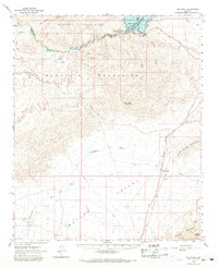
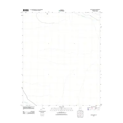
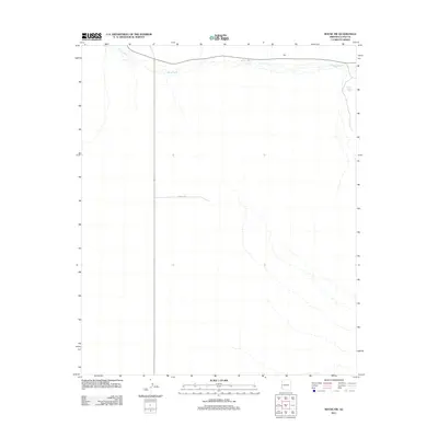
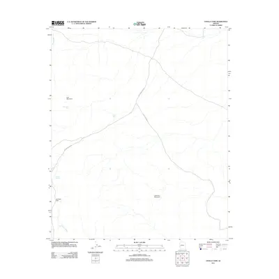
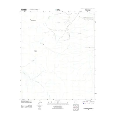
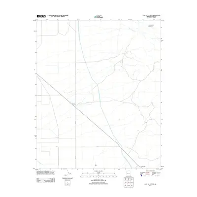
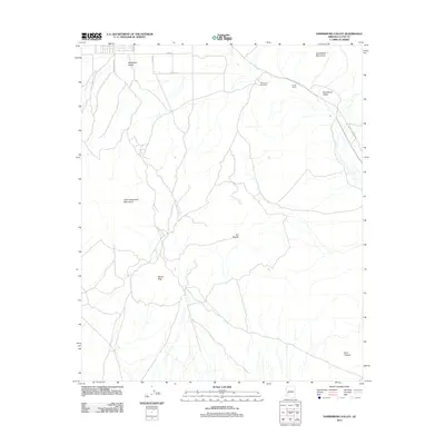
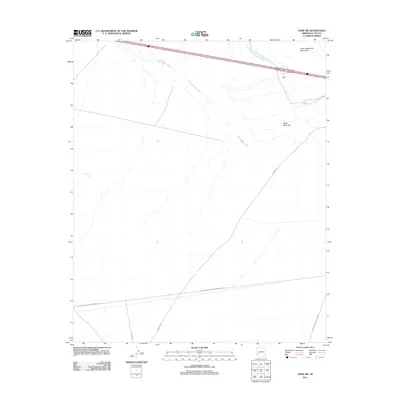
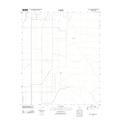
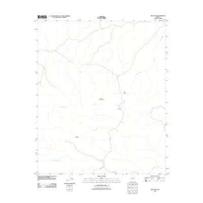
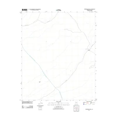
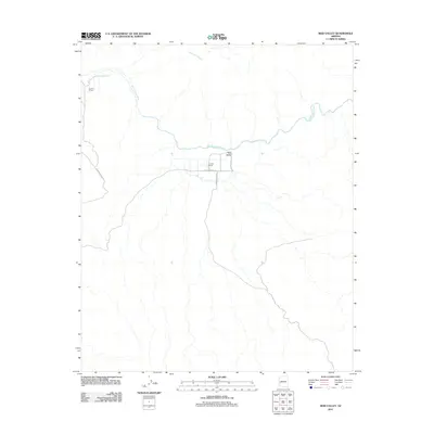
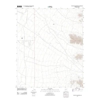
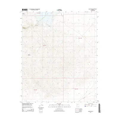
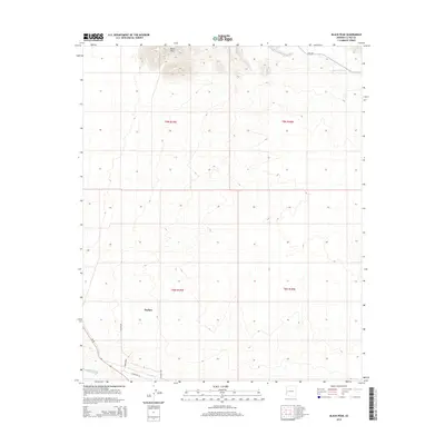
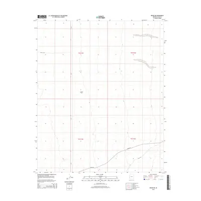
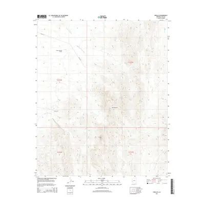
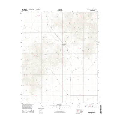
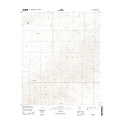
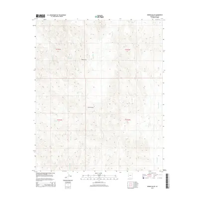
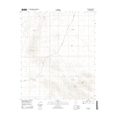
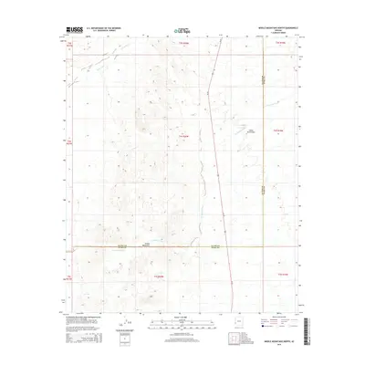
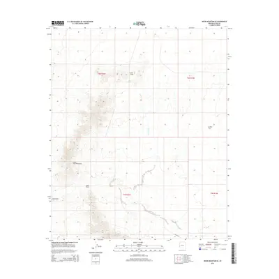
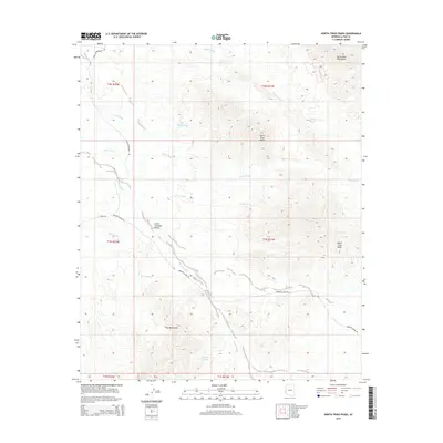
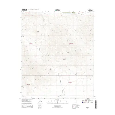
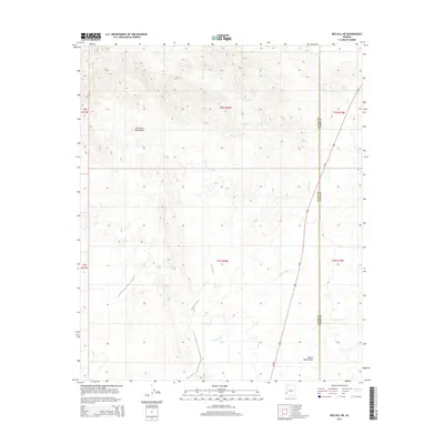
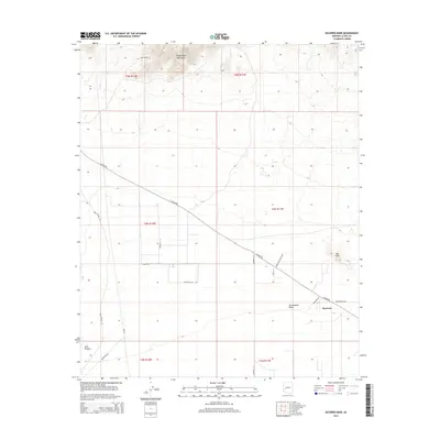
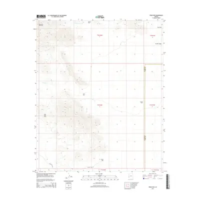
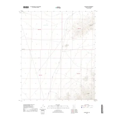
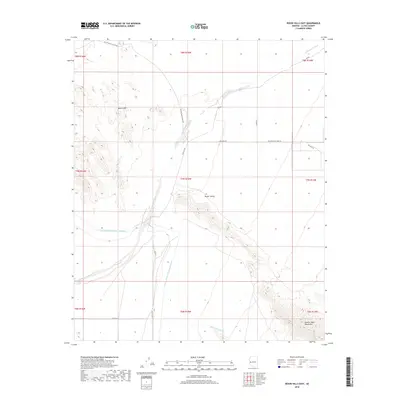
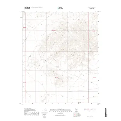
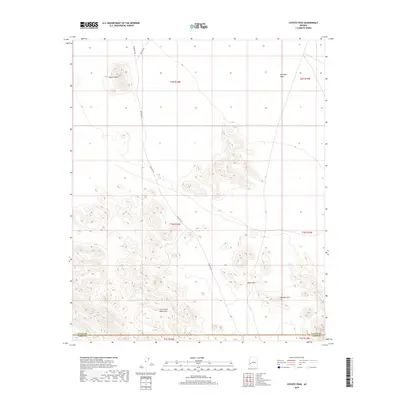
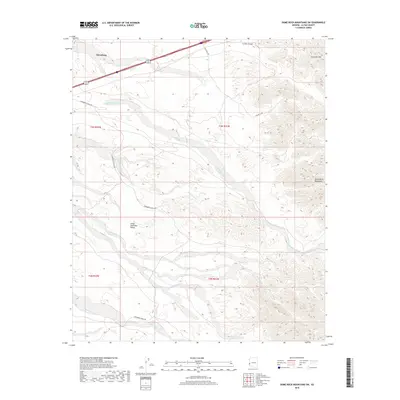
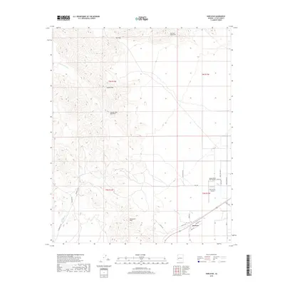
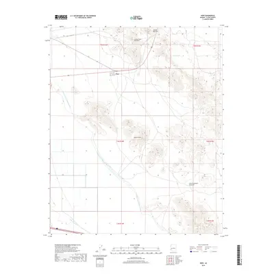
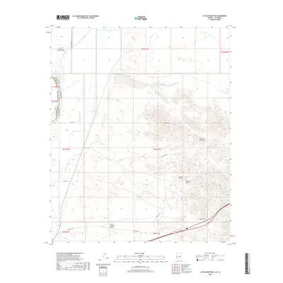
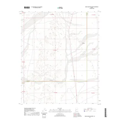
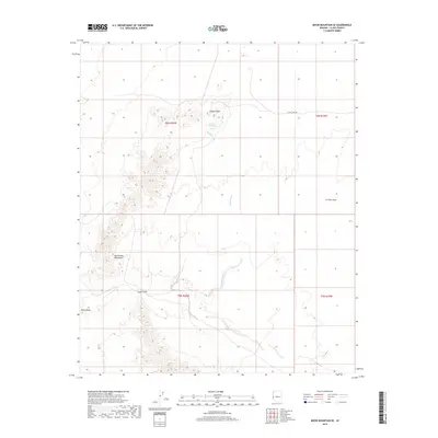
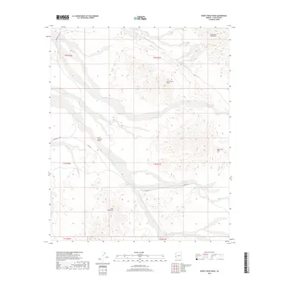
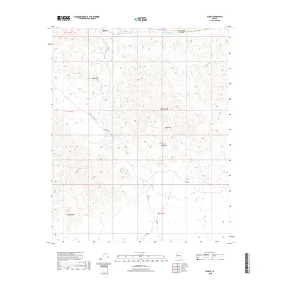
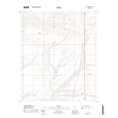
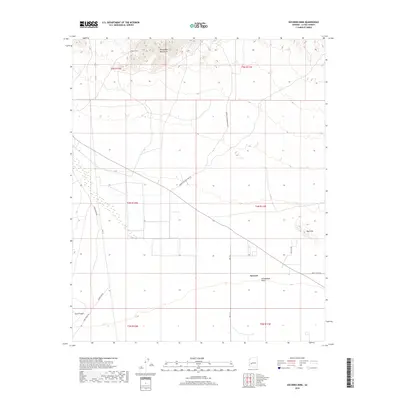
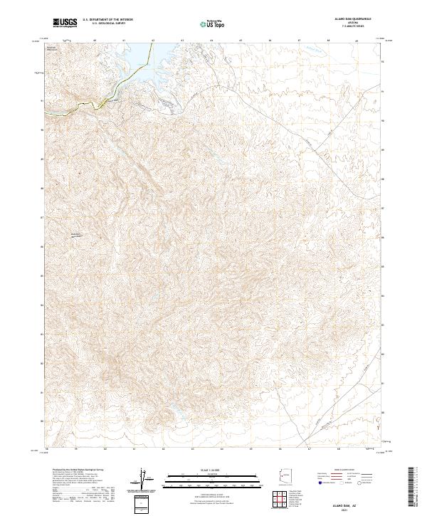
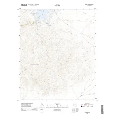
1966 Map of Alamo Dam
USGS Topo · Published 1978About this map
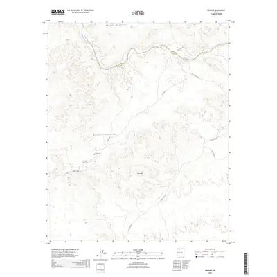
The Alamo Dam and the forming Alamo Lake dominate the northern landscape of this 1960s Arizona survey, marking a significant hydrological shift at the confluence of the Bill Williams River and its desert tributaries. The map documents the terrain just as the dam's reservoir began to reshape the local geography, inundating areas along the Mohave and Yuma county lines. To the south, the vast expanse of Butler Valley is framed by the Buckskin Mountains and the Harcuvar Mountains, revealing a remote ranching and mining landscape reached only by unimproved roads and a Jeep Trail.
Find a feature on this map
29 named features on this map. Tap any name to fly to it.
Don’t see what you’re looking for? This feature index may not catch every label — zoom into the map to look around manually.
Map Details
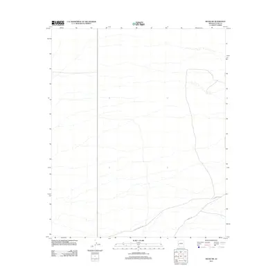
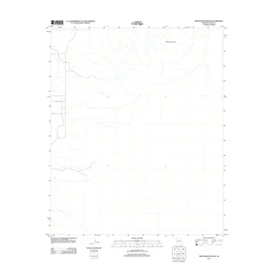
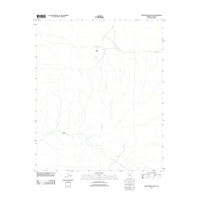
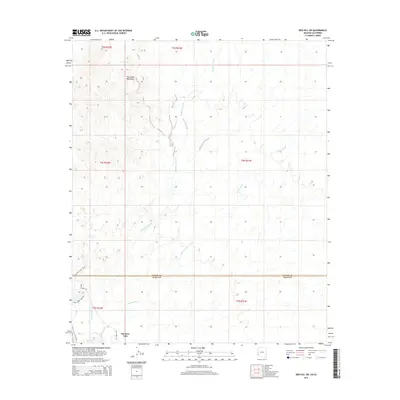
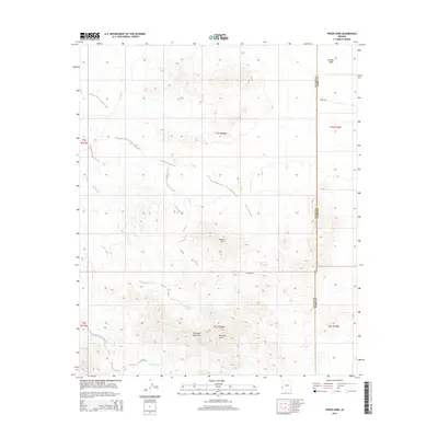
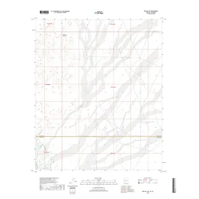
Editions of this 1966 Alamo Dam Map
2 editions found
Historical Maps of Mohave County Through Time
330 maps found

1930 Linskey
La Paz County, AZ

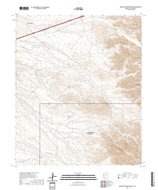
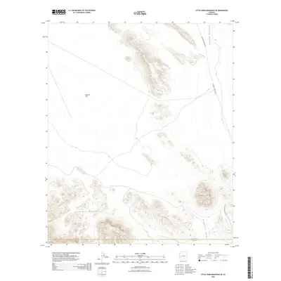
1933 Dome Rock Mts
La Paz County, AZ

1934 Trigo Peaks
La Paz County, AZ

1939 Red Hill
La Paz County, AZ

1939 Trigo Peaks
La Paz County, AZ

1940 Dome Rock Mts
La Paz County, AZ

1952 Mule Wash
La Paz County, AZ

1954 Red Hill
La Paz County, AZ

1954 Trigo Peaks
La Paz County, AZ

1955 La Paz Mtn
La Paz County, AZ

1955 Moon Mtn
La Paz County, AZ

1959 Black Peak
La Paz County, AZ

1959 La Paz Mtn
La Paz County, AZ

1961 Gladden
La Paz County, AZ

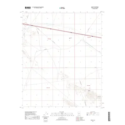
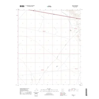
1961 Hope
La Paz County, AZ

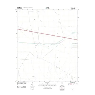
1961 Lone Mountain
La Paz County, AZ

1964 Mule Wash
La Paz County, AZ

1965 Cibola SE
La Paz County, AZ

1965 Hidden Valley
La Paz County, AZ
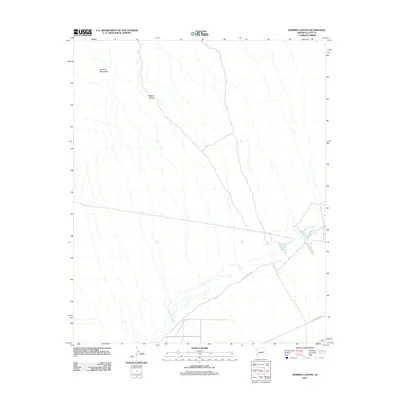
1966 Alamo Dam
La Paz County, AZ

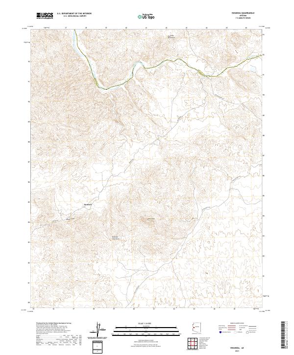
1966 Swansea
La Paz County, AZ

1967 E.C.P. Peak
La Paz County, AZ

1967 Smith Peak NW
La Paz County, AZ

1970 Parker SE
La Paz County, AZ

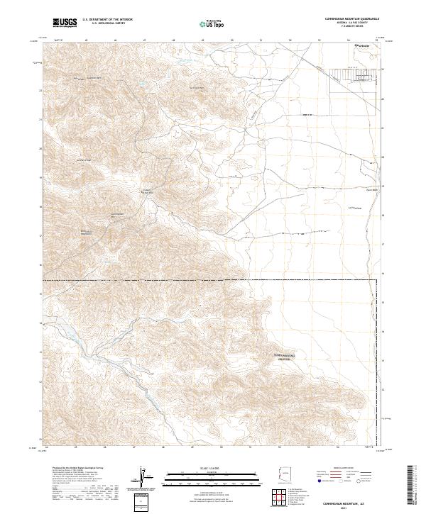
1971 Cunningham Mtn
La Paz County, AZ

1971 Dome Rock Mts SW
La Paz County, AZ

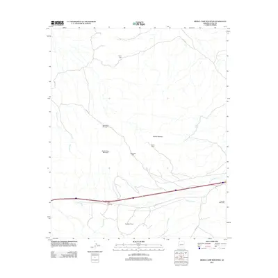
1971 Middle Camp Mtn.
La Paz County, AZ

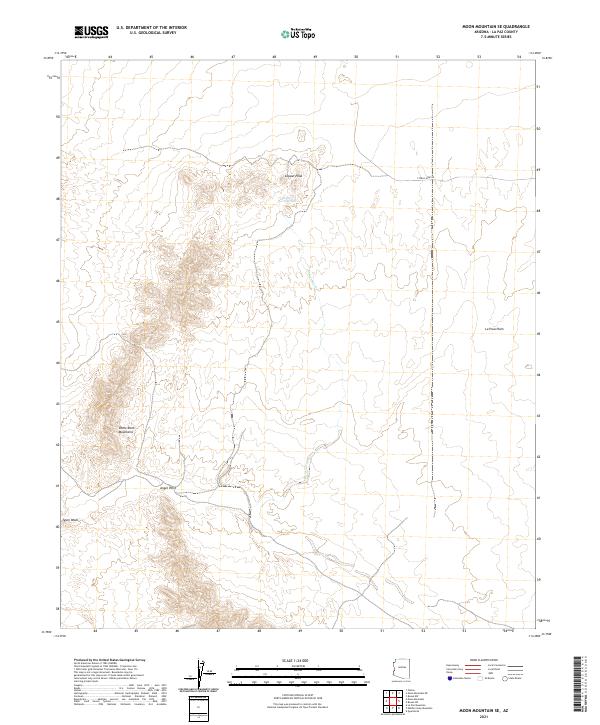
1971 Moon Mtn NE
La Paz County, AZ

1971 Moon Mtn SE
La Paz County, AZ

1986 Middle Mountains North
La Paz County, AZ

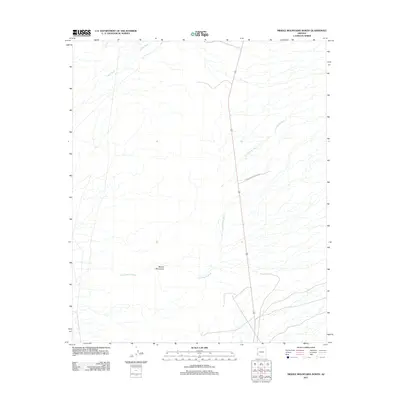
1986 Mohave Peak
La Paz County, AZ

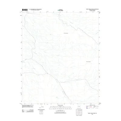
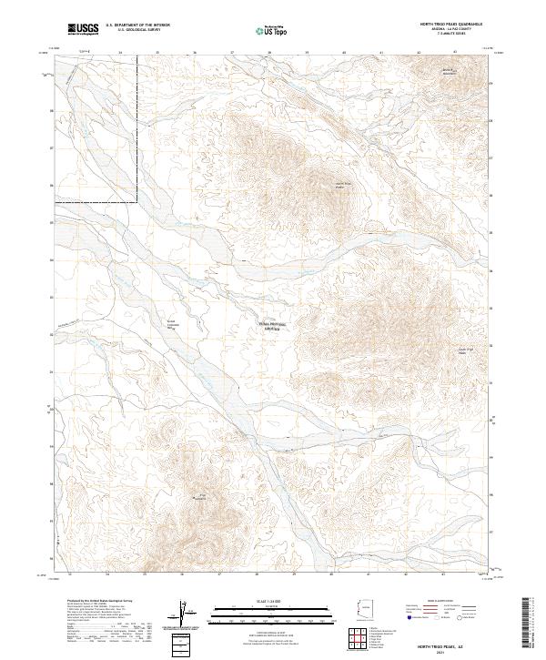
1986 North Trigo Peaks
La Paz County, AZ

1986 Red Hill
La Paz County, AZ

1986 Red Hill NE
La Paz County, AZ

1986 Red Hill SW
La Paz County, AZ

1986 Trigo Mts
La Paz County, AZ

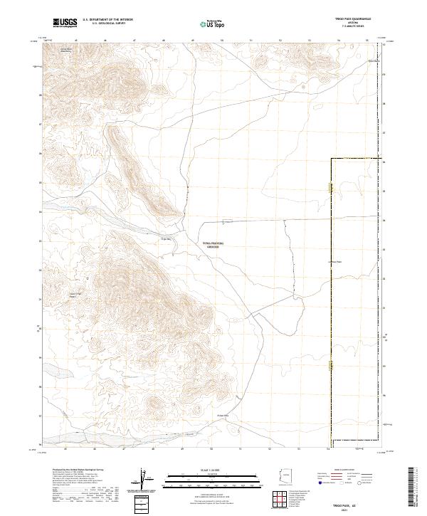
1986 Trigo Pass
La Paz County, AZ

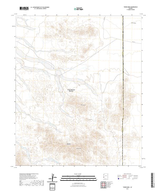
1986 Tweed Mine
La Paz County, AZ

1989 Socorro Peak
La Paz County, AZ

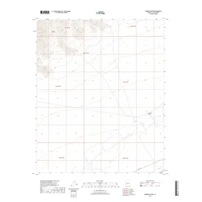
1989 Webber Canyon
La Paz County, AZ

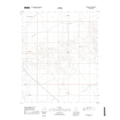
1990 Alamo Dam
La Paz County, AZ

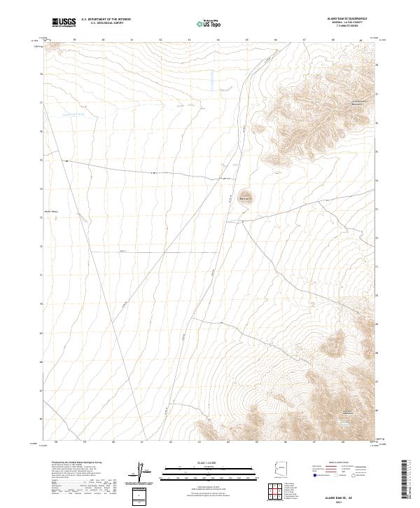
1990 Alamo Dam SE
La Paz County, AZ

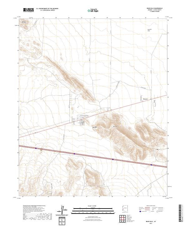
1990 Bear Hills
La Paz County, AZ

1990 Black Peak
La Paz County, AZ

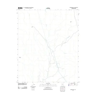
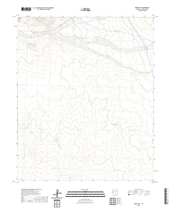
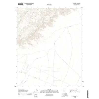
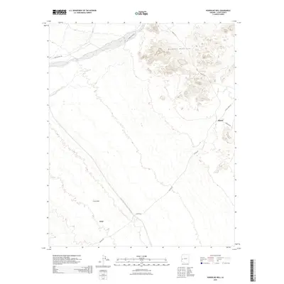
1990 Bobs Well
La Paz County, AZ

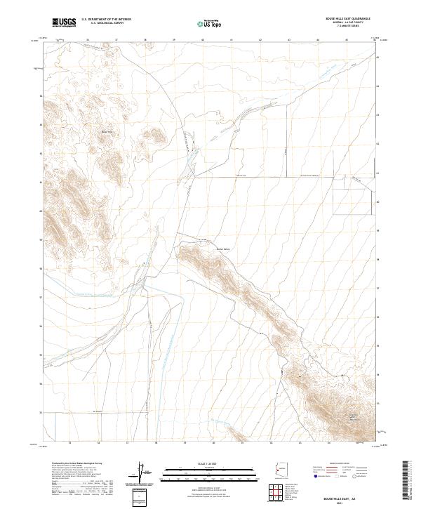
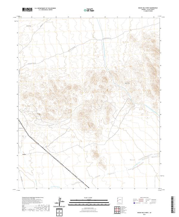
1990 Bouse Hills East
La Paz County, AZ

1990 Bouse Hills West
La Paz County, AZ

1990 Bouse NW
La Paz County, AZ

1990 Bouse SW
La Paz County, AZ

1990 Butler Pass
La Paz County, AZ

1990 Butler Well
La Paz County, AZ

1990 Cholla Tank
La Paz County, AZ

1990 Coyote Peak
La Paz County, AZ

1990 Crystal Hill
La Paz County, AZ

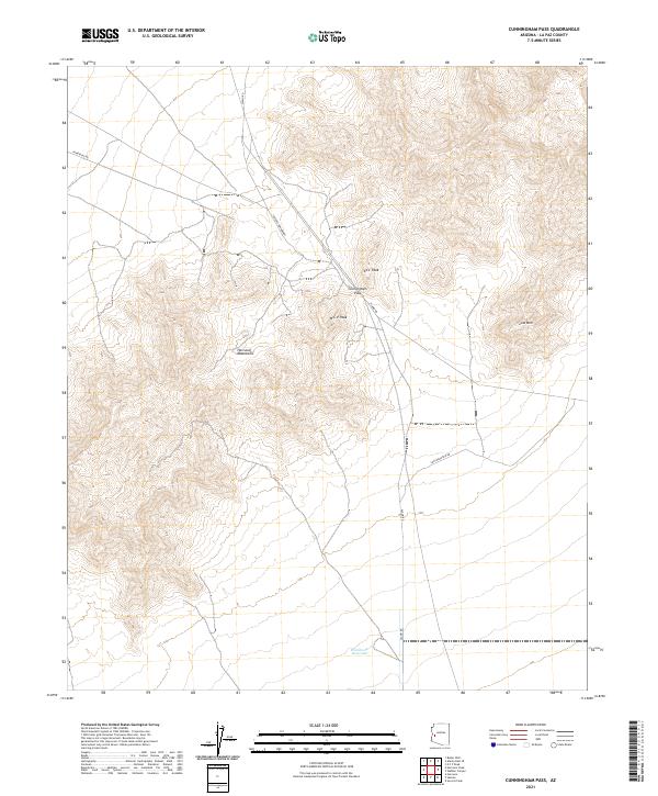
1990 Cunningham Pass
La Paz County, AZ

1990 Eagletail Mountains West
La Paz County, AZ

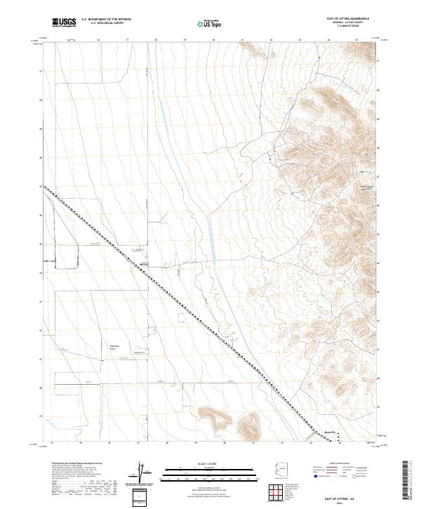
1990 East of Utting
La Paz County, AZ

1990 Harcuvar
La Paz County, AZ

1990 Harcuvar Peak
La Paz County, AZ

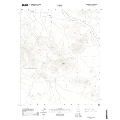
1990 Harrisburg Valley
La Paz County, AZ

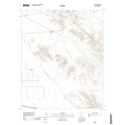
1990 Hope
La Paz County, AZ

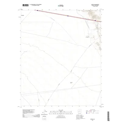
1990 Hope SE
La Paz County, AZ

1990 Hope SW
La Paz County, AZ

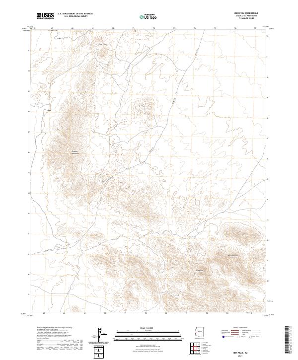
1990 Ibex Peak
La Paz County, AZ

1990 Little Horn Mountains NE
La Paz County, AZ

1990 Lone Mountain
La Paz County, AZ

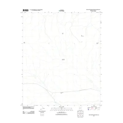
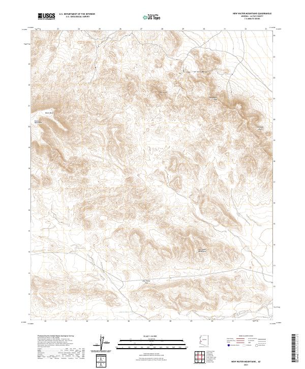
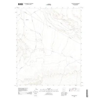
1990 New Water Mountains
La Paz County, AZ

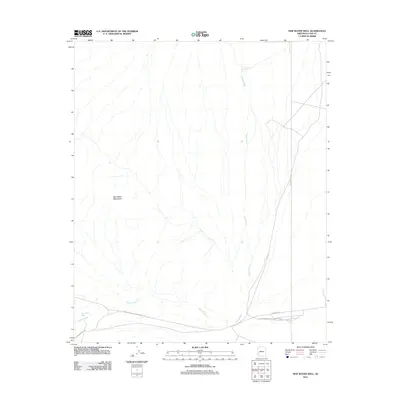
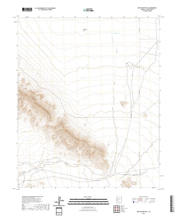
1990 New Water Well
La Paz County, AZ

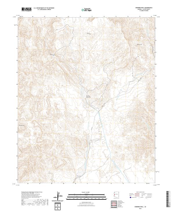
1990 Osborne Well
La Paz County, AZ

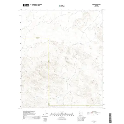
1990 Owl Head
La Paz County, AZ

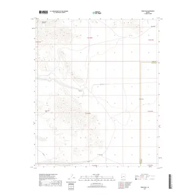
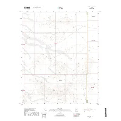
1990 Planet
La Paz County, AZ

1990 Plomosa Pass
La Paz County, AZ

1990 Powerline Well
La Paz County, AZ

1990 Reid Valley
La Paz County, AZ

1990 Socorro Mine
La Paz County, AZ

1990 South of Quartzsite
La Paz County, AZ

1990 Swansea
La Paz County, AZ
2011 Alamo Dam
La Paz County, AZ
2011 Alamo Dam SE
La Paz County, AZ
2011 Bear Hills
La Paz County, AZ
2011 Black Peak
La Paz County, AZ
2011 Bobs Well
La Paz County, AZ
2011 Bouse Hills East
La Paz County, AZ
2011 Bouse Hills West
La Paz County, AZ
2011 Bouse NW
La Paz County, AZ
2011 Bouse SW
La Paz County, AZ
2011 Butler Pass
La Paz County, AZ
2011 Butler Well
La Paz County, AZ
2011 Cholla Tank
La Paz County, AZ
2011 Cibola SE
La Paz County, AZ
2011 Coyote Peak
La Paz County, AZ
2011 Crystal Hill
La Paz County, AZ
2011 Cunningham Mountain
La Paz County, AZ
2011 Cunningham Pass
La Paz County, AZ
2011 Dome Rock Mountains SW
La Paz County, AZ
2011 Eagletail Mountains West
La Paz County, AZ
2011 East of Utting
La Paz County, AZ
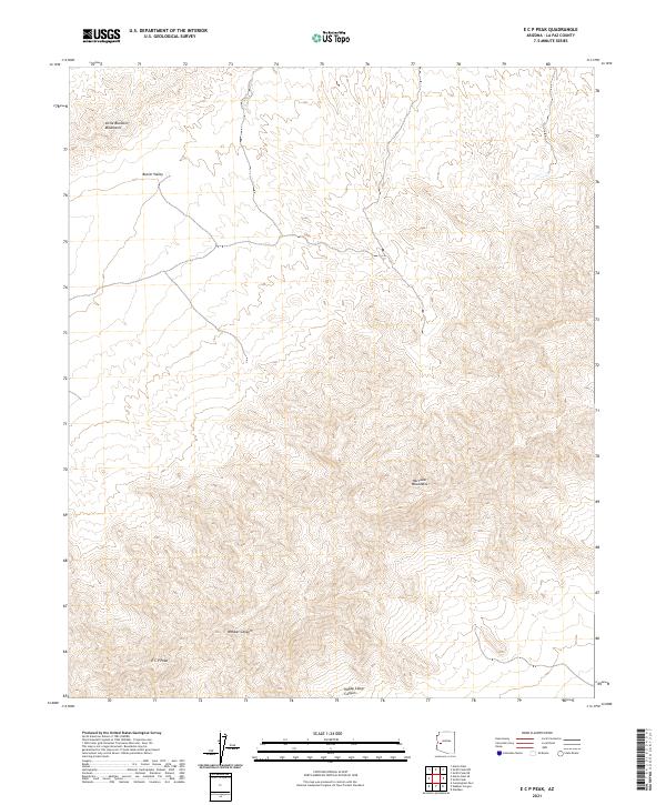
2011 E C P Peak
La Paz County, AZ
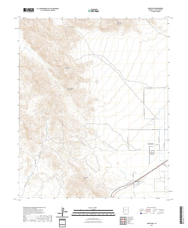
2011 Harcuvar
La Paz County, AZ
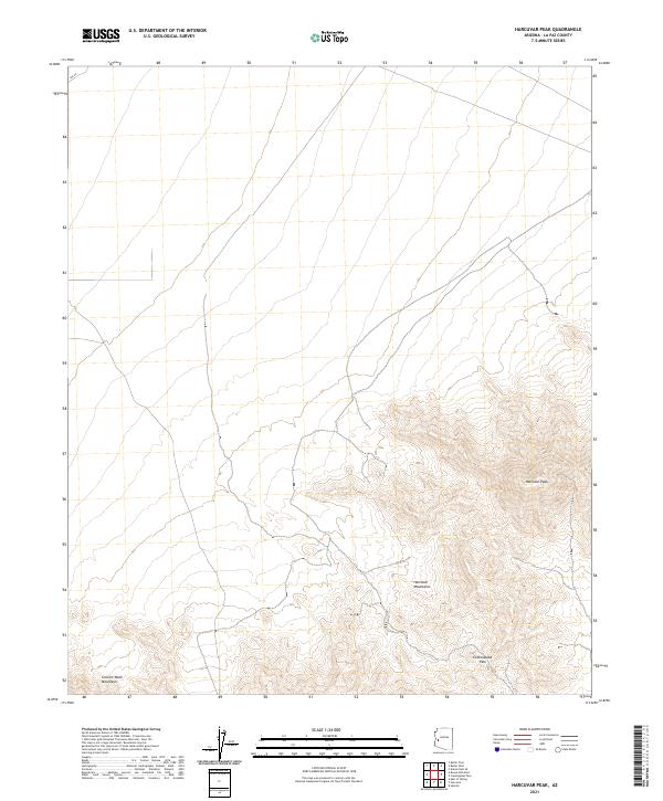
2011 Harcuvar Peak
La Paz County, AZ
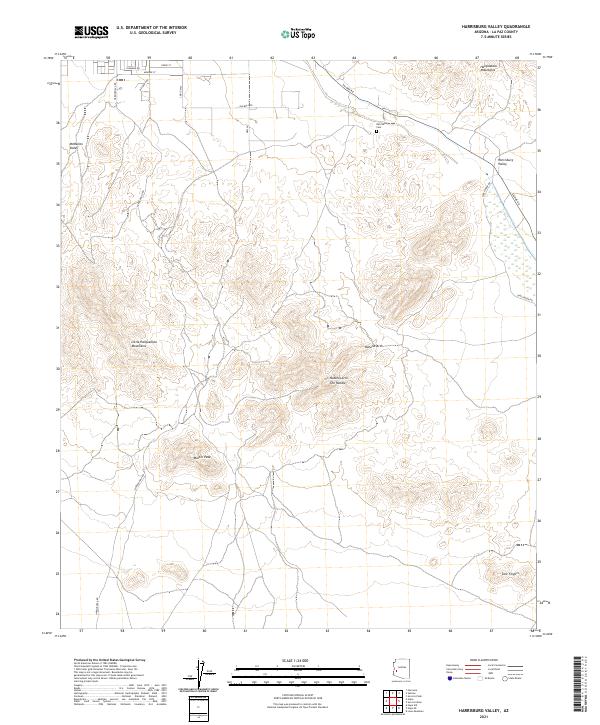
2011 Harrisburg Valley
La Paz County, AZ
2011 Hidden Valley
La Paz County, AZ
2011 Hope
La Paz County, AZ
2011 Hope SE
La Paz County, AZ
2011 Hope SW
La Paz County, AZ
2011 Ibex Peak
La Paz County, AZ
2011 La Paz Mountain
La Paz County, AZ
2011 Little Horn Mountains NE
La Paz County, AZ
2011 Lone Mountain
La Paz County, AZ
2011 Middle Camp Mountain
La Paz County, AZ
2011 Middle Mountains North
La Paz County, AZ
2011 Mohave Peak
La Paz County, AZ
2011 Moon Mountain
La Paz County, AZ
2011 Moon Mountain NE
La Paz County, AZ
2011 Moon Mountain SE
La Paz County, AZ
2011 Mule Wash
La Paz County, AZ
2011 New Water Mountains
La Paz County, AZ
2011 New Water Well
La Paz County, AZ
2011 North Trigo Peaks
La Paz County, AZ
2011 Osborne Well
La Paz County, AZ
2011 Owl Head
La Paz County, AZ
2011 Parker SE
La Paz County, AZ
2011 Planet
La Paz County, AZ
2011 Plomosa Pass
La Paz County, AZ
2011 Powerline Well
La Paz County, AZ
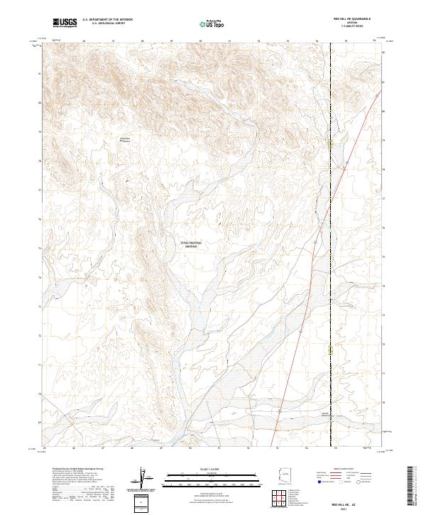
2011 Red Hill
La Paz County, AZ
2011 Red Hill NE
La Paz County, AZ
2011 Red Hill SW
La Paz County, AZ
2011 Reid Valley
La Paz County, AZ
2011 Smith Peak NW
La Paz County, AZ
2011 Socorro Mine
La Paz County, AZ
2011 Socorro Peak
La Paz County, AZ
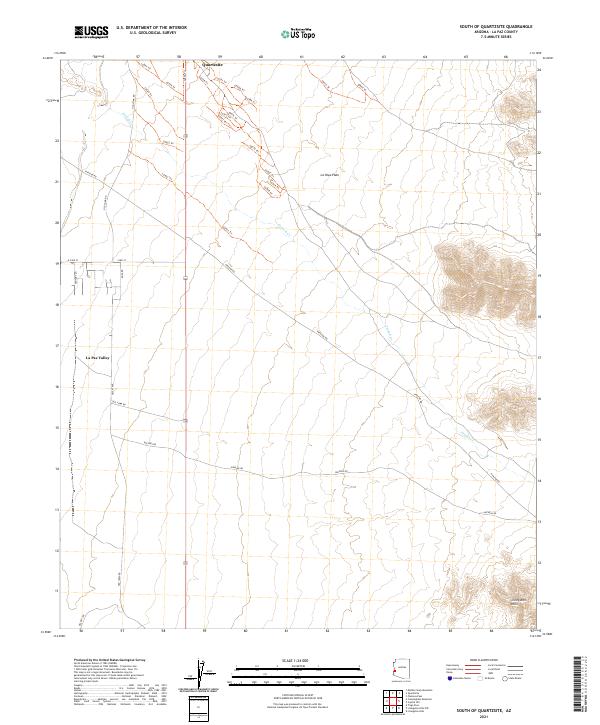
2011 South of Quartzsite
La Paz County, AZ
2011 Swansea
La Paz County, AZ
2011 Trigo Pass
La Paz County, AZ
2011 Tweed Mine
La Paz County, AZ
2011 Webber Canyon
La Paz County, AZ
2014 Alamo Dam
La Paz County, AZ
2014 Alamo Dam SE
La Paz County, AZ
2014 Bear Hills
La Paz County, AZ
2014 Black Peak
La Paz County, AZ
2014 Bobs Well
La Paz County, AZ
2014 Bouse Hills East
La Paz County, AZ

2014 Bouse Hills West
La Paz County, AZ
2014 Bouse NW
La Paz County, AZ
2014 Bouse SW
La Paz County, AZ
2014 Butler Pass
La Paz County, AZ
2014 Butler Well
La Paz County, AZ
2014 Cholla Tank
La Paz County, AZ
2014 Cibola SE
La Paz County, AZ
2014 Coyote Peak
La Paz County, AZ
2014 Crystal Hill
La Paz County, AZ
2014 Cunningham Mountain
La Paz County, AZ
2014 Cunningham Pass
La Paz County, AZ
2014 Dome Rock Mountains SW
La Paz County, AZ
2014 Eagletail Mountains West
La Paz County, AZ
2014 East of Utting
La Paz County, AZ
2014 E C P Peak
La Paz County, AZ
2014 Harcuvar
La Paz County, AZ
2014 Harcuvar Peak
La Paz County, AZ
2014 Harrisburg Valley
La Paz County, AZ
2014 Hidden Valley
La Paz County, AZ
2014 Hope
La Paz County, AZ
2014 Hope SE
La Paz County, AZ
2014 Hope SW
La Paz County, AZ
2014 Ibex Peak
La Paz County, AZ
2014 La Paz Mountain
La Paz County, AZ

2014 Little Horn Mountains NE
La Paz County, AZ
2014 Lone Mountain
La Paz County, AZ
2014 Middle Camp Mountain
La Paz County, AZ
2014 Middle Mountains North
La Paz County, AZ
2014 Mohave Peak
La Paz County, AZ
2014 Moon Mountain
La Paz County, AZ
2014 Moon Mountain NE
La Paz County, AZ
2014 Moon Mountain SE
La Paz County, AZ
2014 Mule Wash
La Paz County, AZ
2014 New Water Mountains
La Paz County, AZ
2014 New Water Well
La Paz County, AZ
2014 North Trigo Peaks
La Paz County, AZ
2014 Osborne Well
La Paz County, AZ
2014 Owl Head
La Paz County, AZ
2014 Parker SE
La Paz County, AZ
2014 Planet
La Paz County, AZ
2014 Plomosa Pass
La Paz County, AZ
2014 Powerline Well
La Paz County, AZ
2014 Red Hill
La Paz County, AZ
2014 Red Hill NE
La Paz County, AZ
2014 Red Hill SW
La Paz County, AZ
2014 Reid Valley
La Paz County, AZ
2014 Smith Peak NW
La Paz County, AZ
2014 Socorro Mine
La Paz County, AZ
2014 Socorro Peak
La Paz County, AZ
2014 South of Quartzsite
La Paz County, AZ
2014 Swansea
La Paz County, AZ
2014 Trigo Pass
La Paz County, AZ
2014 Tweed Mine
La Paz County, AZ
2014 Webber Canyon
La Paz County, AZ
2018 Alamo Dam
La Paz County, AZ
2018 Alamo Dam SE
La Paz County, AZ
2018 Bear Hills
La Paz County, AZ
2018 Black Peak
La Paz County, AZ
2018 Bobs Well
La Paz County, AZ
2018 Bouse Hills East
La Paz County, AZ
2018 Bouse Hills West
La Paz County, AZ
2018 Bouse NW
La Paz County, AZ
2018 Bouse SW
La Paz County, AZ
2018 Butler Pass
La Paz County, AZ
2018 Butler Well
La Paz County, AZ
2018 Cholla Tank
La Paz County, AZ
2018 Cibola SE
La Paz County, AZ
2018 Coyote Peak
La Paz County, AZ
2018 Crystal Hill
La Paz County, AZ
2018 Cunningham Mountain
La Paz County, AZ
2018 Cunningham Pass
La Paz County, AZ
2018 Dome Rock Mountains SW
La Paz County, AZ
2018 Eagletail Mountains West
La Paz County, AZ
2018 East of Utting
La Paz County, AZ
2018 E C P Peak
La Paz County, AZ
2018 Harcuvar
La Paz County, AZ
2018 Harcuvar Peak
La Paz County, AZ
2018 Harrisburg Valley
La Paz County, AZ
2018 Hidden Valley
La Paz County, AZ
2018 Hope
La Paz County, AZ
2018 Hope SE
La Paz County, AZ
2018 Hope SW
La Paz County, AZ
2018 Ibex Peak
La Paz County, AZ
2018 La Paz Mountain
La Paz County, AZ
2018 Little Horn Mountains NE
La Paz County, AZ
2018 Lone Mountain
La Paz County, AZ
2018 Middle Camp Mountain
La Paz County, AZ
2018 Middle Mountains North
La Paz County, AZ
2018 Mohave Peak
La Paz County, AZ
2018 Moon Mountain
La Paz County, AZ
2018 Moon Mountain NE
La Paz County, AZ
2018 Moon Mountain SE
La Paz County, AZ
2018 Mule Wash
La Paz County, AZ
2018 New Water Mountains
La Paz County, AZ
2018 New Water Well
La Paz County, AZ
2018 North Trigo Peaks
La Paz County, AZ
2018 Osborne Well
La Paz County, AZ
2018 Owl Head
La Paz County, AZ
2018 Parker SE
La Paz County, AZ
2018 Planet
La Paz County, AZ
2018 Plomosa Pass
La Paz County, AZ
2018 Powerline Well
La Paz County, AZ
2018 Red Hill
La Paz County, AZ
2018 Red Hill NE
La Paz County, AZ
2018 Red Hill SW
La Paz County, AZ
2018 Reid Valley
La Paz County, AZ
2018 Smith Peak NW
La Paz County, AZ
2018 Socorro Mine
La Paz County, AZ
2018 Socorro Peak
La Paz County, AZ
2018 South of Quartzsite
La Paz County, AZ
2018 Swansea
La Paz County, AZ
2018 Trigo Pass
La Paz County, AZ
2018 Tweed Mine
La Paz County, AZ
2018 Webber Canyon
La Paz County, AZ
2021 Alamo Dam
La Paz County, AZ
2021 Alamo Dam SE
La Paz County, AZ
2021 Bear Hills
La Paz County, AZ

2021 Black Peak
La Paz County, AZ
2021 Bobs Well
La Paz County, AZ
2021 Bouse Hills East
La Paz County, AZ
2021 Bouse Hills West
La Paz County, AZ

2021 Bouse NW
La Paz County, AZ
2021 Bouse SW
La Paz County, AZ
2021 Butler Pass
La Paz County, AZ
2021 Butler Well
La Paz County, AZ
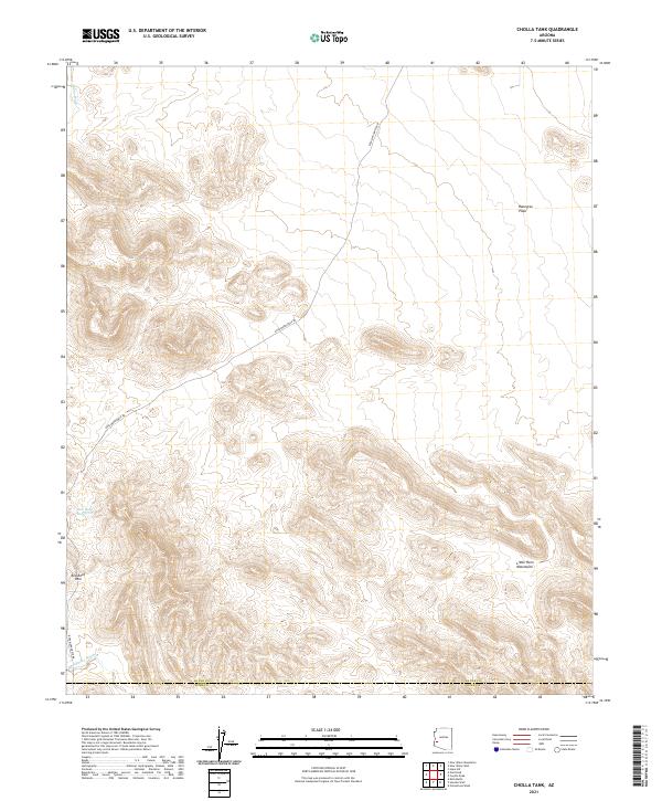
2021 Cholla Tank
La Paz County, AZ
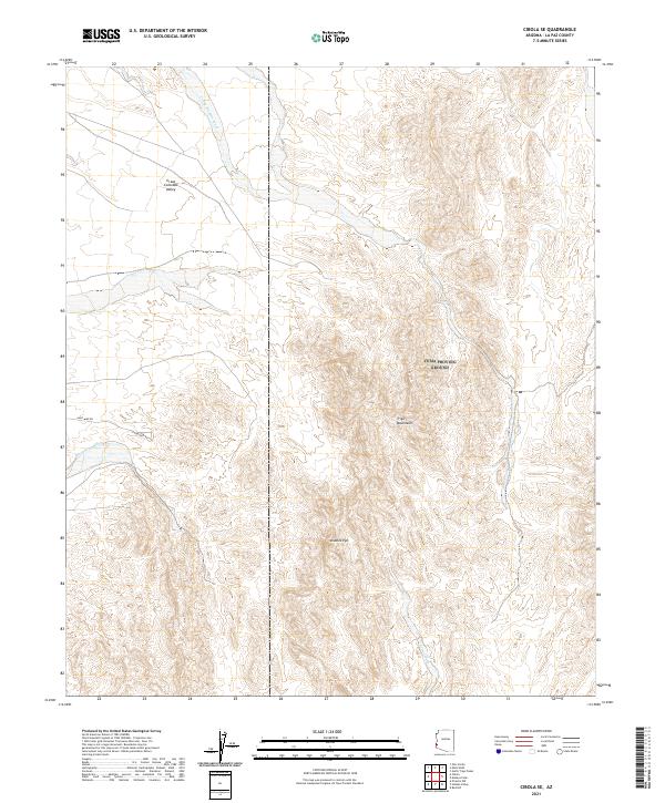
2021 Cibola SE
La Paz County, AZ
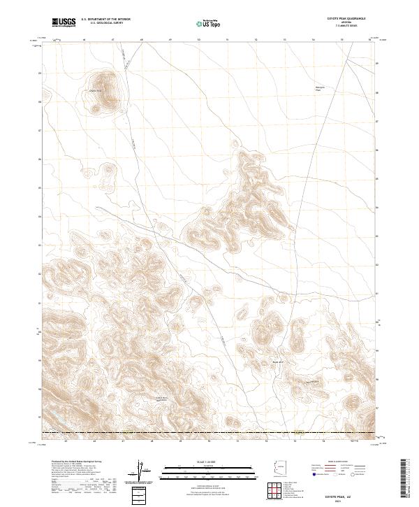
2021 Coyote Peak
La Paz County, AZ
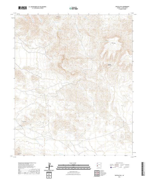
2021 Crystal Hill
La Paz County, AZ
2021 Cunningham Mountain
La Paz County, AZ
2021 Cunningham Pass
La Paz County, AZ
2021 Dome Rock Mountains SW
La Paz County, AZ

2021 Eagletail Mountains West
La Paz County, AZ
2021 East of Utting
La Paz County, AZ
2021 E C P Peak
La Paz County, AZ
2021 Harcuvar
La Paz County, AZ
2021 Harcuvar Peak
La Paz County, AZ
2021 Harrisburg Valley
La Paz County, AZ
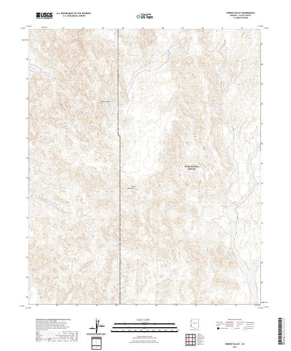
2021 Hidden Valley
La Paz County, AZ
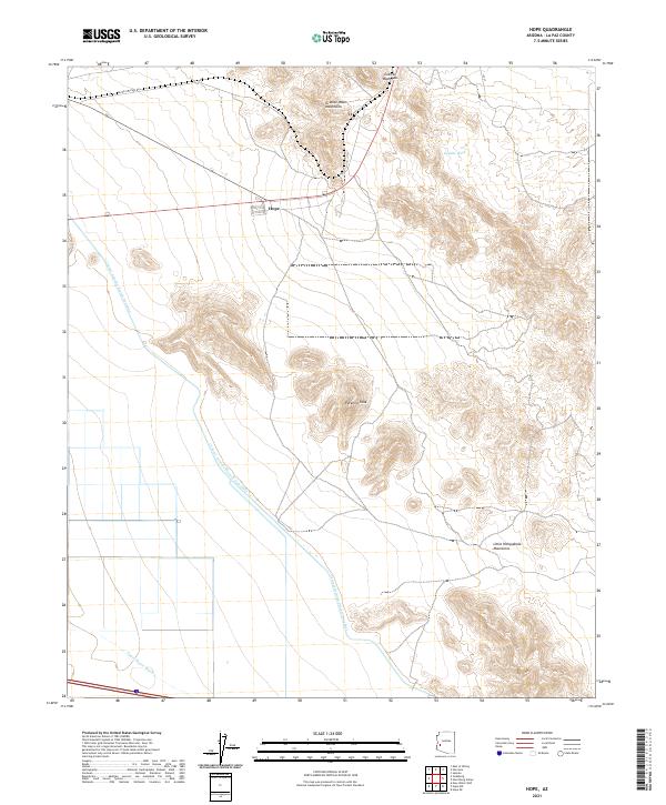
2021 Hope
La Paz County, AZ
2021 Hope SE
La Paz County, AZ
2021 Hope SW
La Paz County, AZ
2021 Ibex Peak
La Paz County, AZ

2021 La Paz Mountain
La Paz County, AZ
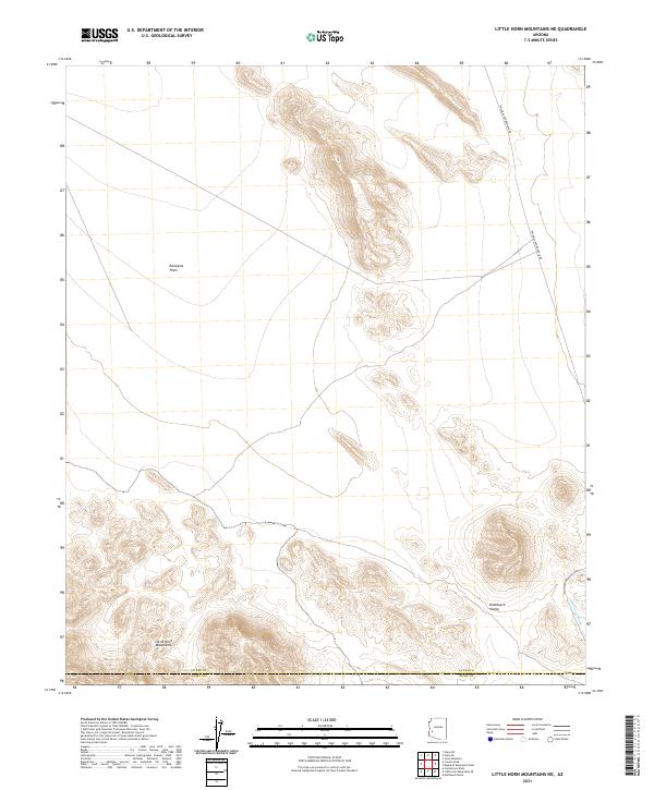
2021 Little Horn Mountains NE
La Paz County, AZ
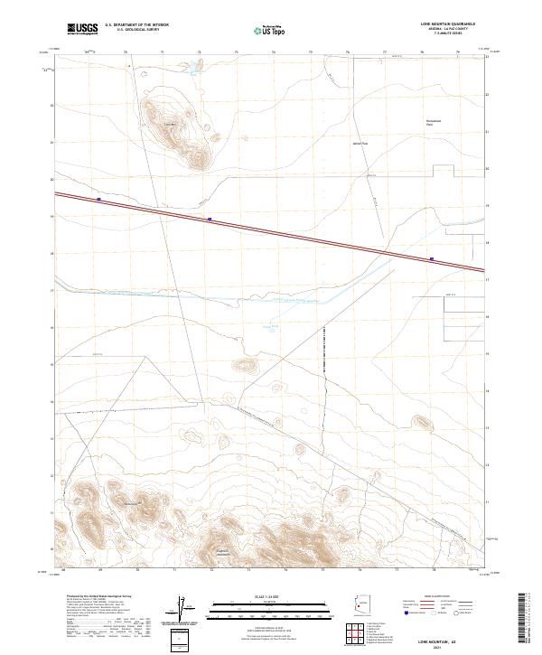
2021 Lone Mountain
La Paz County, AZ
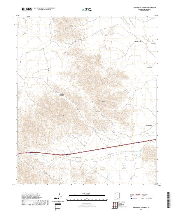
2021 Middle Camp Mountain
La Paz County, AZ
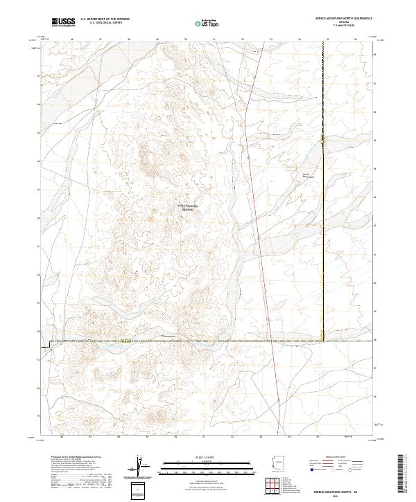
2021 Middle Mountains North
La Paz County, AZ
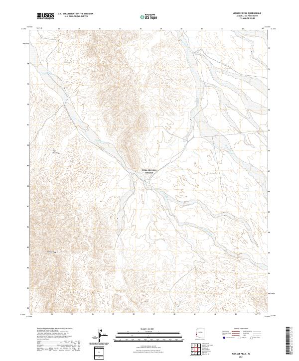
2021 Mohave Peak
La Paz County, AZ
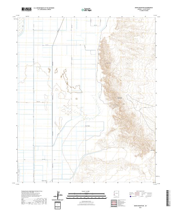
2021 Moon Mountain
La Paz County, AZ

2021 Moon Mountain NE
La Paz County, AZ
2021 Moon Mountain SE
La Paz County, AZ

2021 Mule Wash
La Paz County, AZ
2021 New Water Mountains
La Paz County, AZ
2021 New Water Well
La Paz County, AZ
2021 North Trigo Peaks
La Paz County, AZ
2021 Osborne Well
La Paz County, AZ
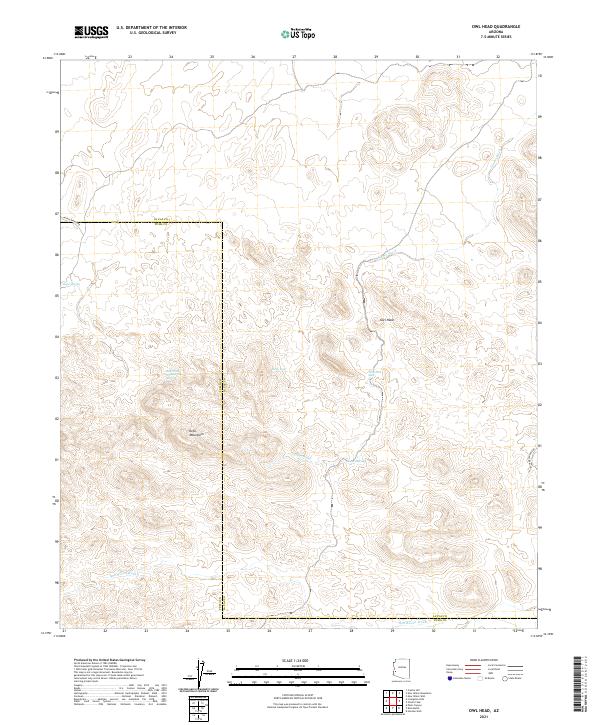
2021 Owl Head
La Paz County, AZ

2021 Parker SE
La Paz County, AZ
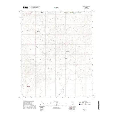
2021 Planet
La Paz County, AZ
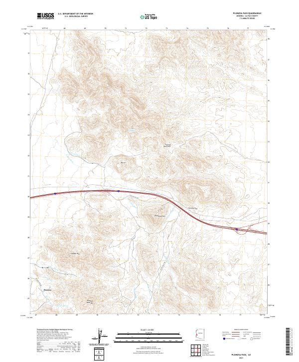
2021 Plomosa Pass
La Paz County, AZ

2021 Powerline Well
La Paz County, AZ
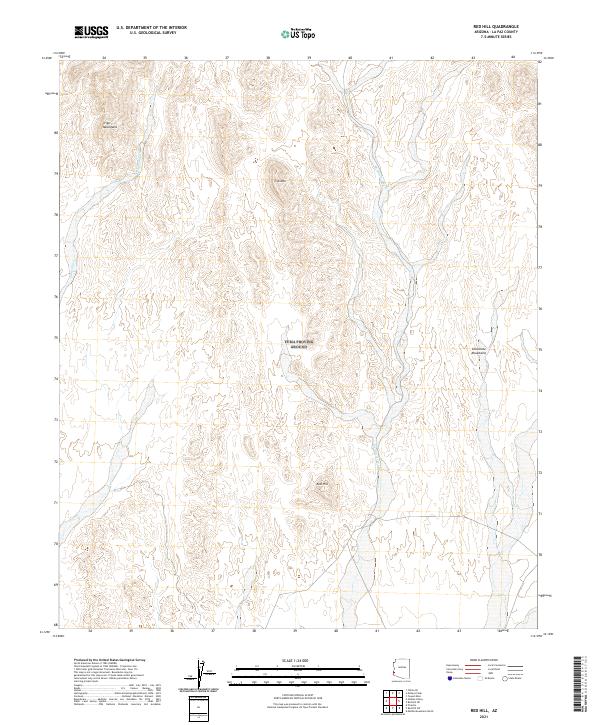
2021 Red Hill
La Paz County, AZ
2021 Red Hill NE
La Paz County, AZ

2021 Red Hill SW
La Paz County, AZ
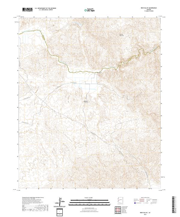
2021 Reid Valley
La Paz County, AZ
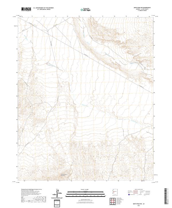
2021 Smith Peak NW
La Paz County, AZ

2021 Socorro Mine
La Paz County, AZ
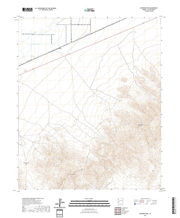
2021 Socorro Peak
La Paz County, AZ
2021 South of Quartzsite
La Paz County, AZ
2021 Swansea
La Paz County, AZ
2021 Trigo Pass
La Paz County, AZ
2021 Tweed Mine
La Paz County, AZ
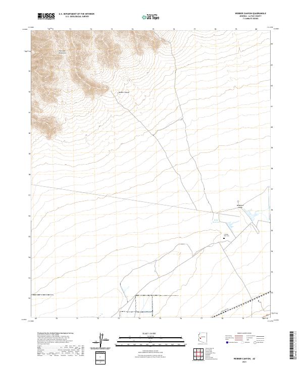
2021 Webber Canyon
La Paz County, AZ

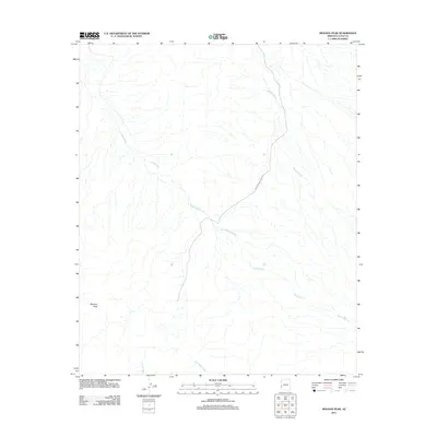
2023 Planet
La Paz County, AZ
2026 Alamo Dam
La Paz County, AZ
2026 Alamo Dam SE
La Paz County, AZ
2026 Butler Pass
La Paz County, AZ
2026 Butler Well
La Paz County, AZ
2026 Harrisburg Valley
La Paz County, AZ
2026 Hope
La Paz County, AZ
2026 Hope SW
La Paz County, AZ
2026 Little Horn Mountains NE
La Paz County, AZ
2026 Owl Head
La Paz County, AZ
2026 Powerline Well
La Paz County, AZ
2026 Smith Peak NW
La Paz County, AZ
2026 Swansea
La Paz County, AZ