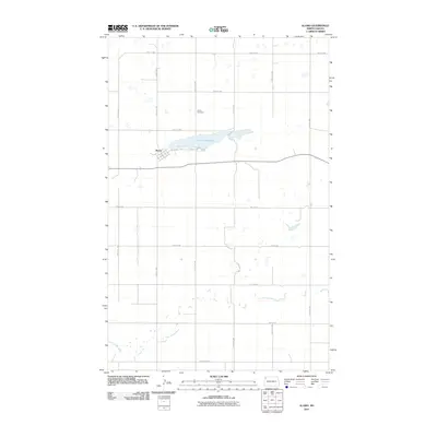
2011 Map of Alamo
USGS Topo · Published 2011About this map
Alamo serves as the primary hub of this Williams County landscape, centered at the intersection of Main St and County Hwy 11. The town's layout follows a traditional grid, transitioning into the expansive prairie and agricultural sections of northwestern North Dakota. Immediately north of the village, Cottonwood Lake dominates the local geography, providing a significant water feature in an otherwise high-plains environment. Nearby, the Alamo Cemetery stands as a focal point for local family history and genealogical research.
Find a feature on this map
21 named features on this map. Tap any name to fly to it.
Don’t see what you’re looking for? This feature index may not catch every label — zoom into the map to look around manually.
Map Details
Editions of this 2011 Alamo Map
This is the sole edition of this map. No revisions or reprints were ever made.
Other maps of this area

1911 · Ray
USGS Topo · 1:125,000

1948 · Smoky Butte
USGS Topo · 1:24,000

1948 · Alamo N.E.
USGS Topo · 1:24,000

1948 · Bright Water Lake
USGS Topo · 1:24,000

1953 · Williston
USGS Topo · 1:250,000

1957 · Williston
USGS Topo · 1:250,000

1974 · Twin Lakes
USGS Topo · 1:24,000

1977 · Appam
USGS Topo · 1:24,000

1977 · Alamo
USGS Topo · 1:24,000

1978 · Corinth
USGS Topo · 1:24,000