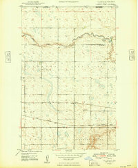
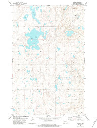
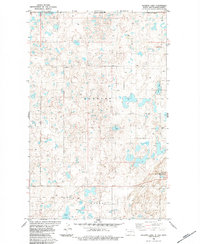
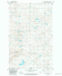
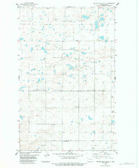
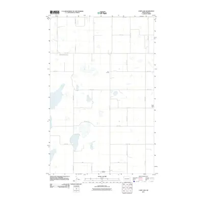
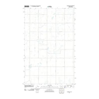
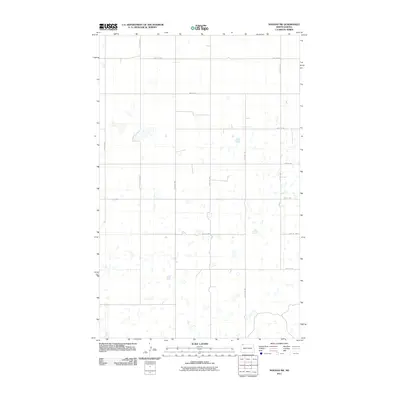
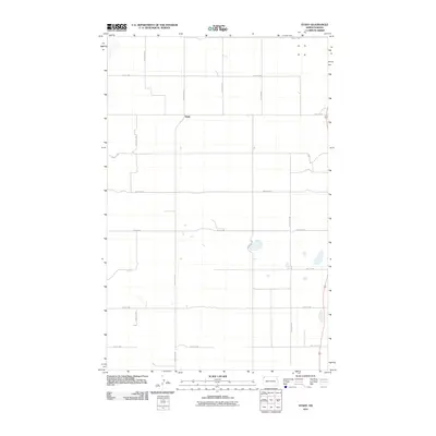
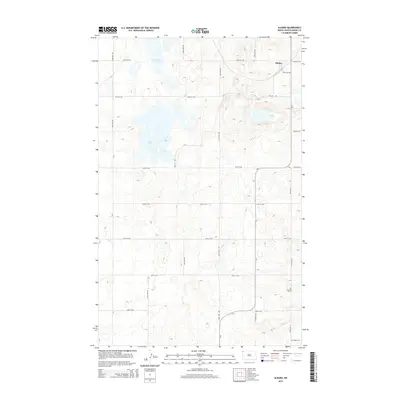
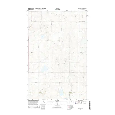
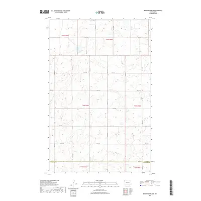
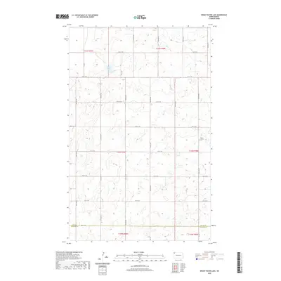
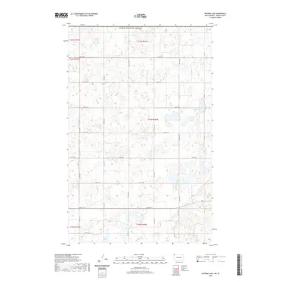
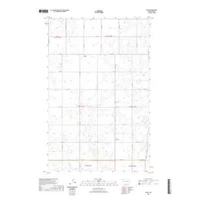
1948 Map of Bright Water Lake
USGS Topo · Published 1948About this map
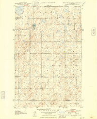
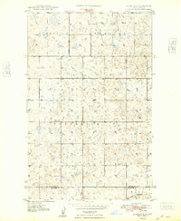
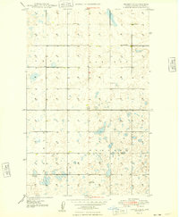
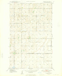
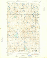
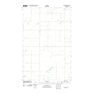
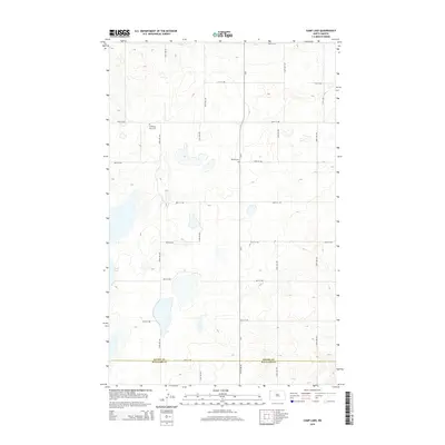
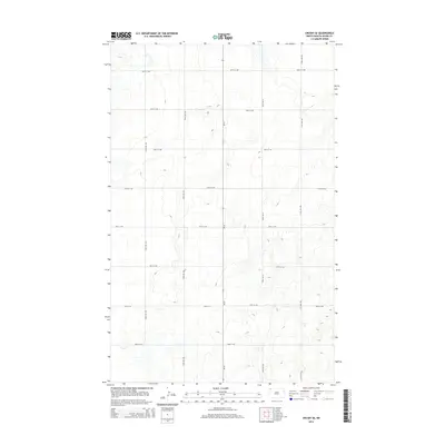
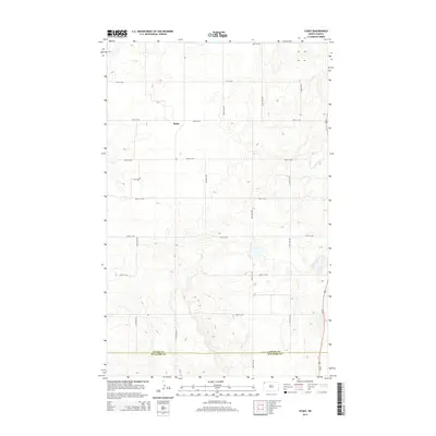
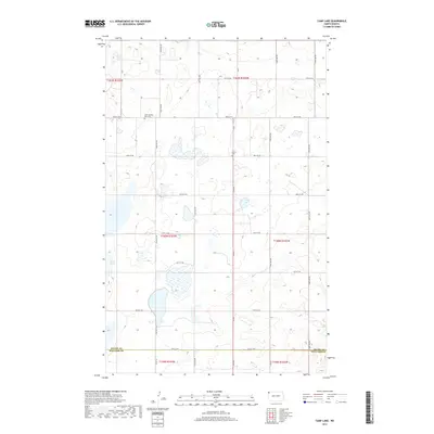
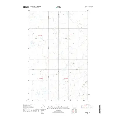
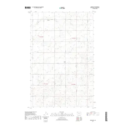
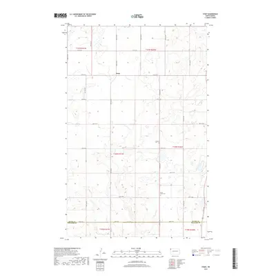
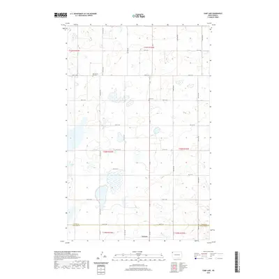
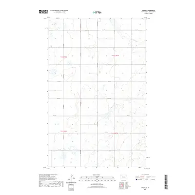
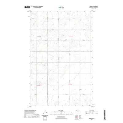
Bright Water Lake sits at the center of this 1948 topographic study, a prominent landmark in a landscape defined by small depressions and prairie potholes. The survey, conducted shortly after the war using 1946 aerial photography and 1947 plane-table methods, reveals a strictly organized rural society. The terrain is divided into precise townships such as Burg, Plumer, and Garnet, where a network of section-line roads connects isolated homesteads and public institutions. The distribution of schools like Roseville No 1 Sch and Outlook No 3 Sch highlights a period when localized education was essential for farming families before the widespread consolidation of the late 20th century. Spiritual life is anchored by Skabo Ch and West Opdal Ch, which serve as community hubs near the Divide Co and Williams Co boundary line.
Find a feature on this map
16 named features on this map. Tap any name to fly to it.
Don’t see what you’re looking for? This feature index may not catch every label — zoom into the map to look around manually.
Map Details
Editions of this 1948 Bright Water Lake Map
This is the sole edition of this map. No revisions or reprints were ever made.
Historical Maps of Williams County Through Time
119 maps found
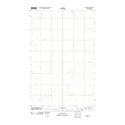
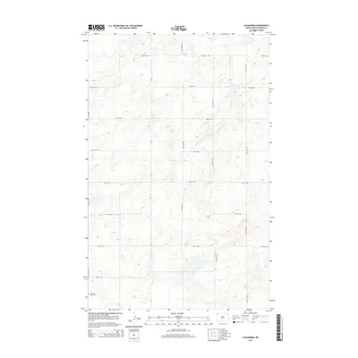
1948 Alamo N.E.
Divide County, ND
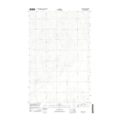
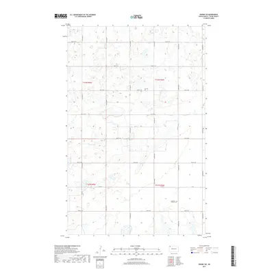
1948 Bright Water Lake
Divide County, ND
1948 Crosby SE
Divide County, ND
1948 Crosby SW
Divide County, ND
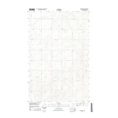
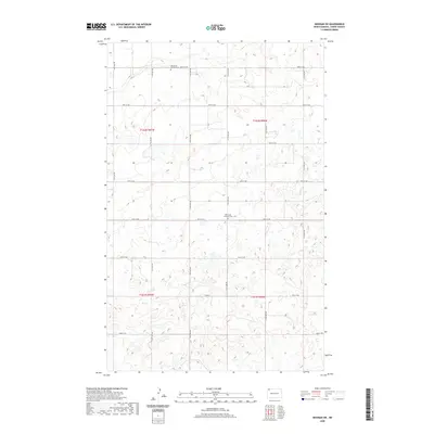
1948 Smoky Butte
Divide County, ND
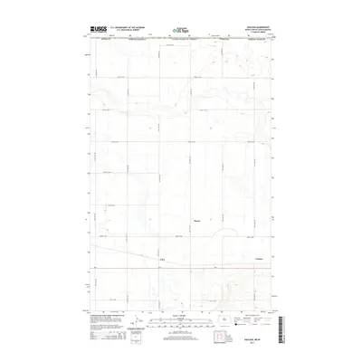
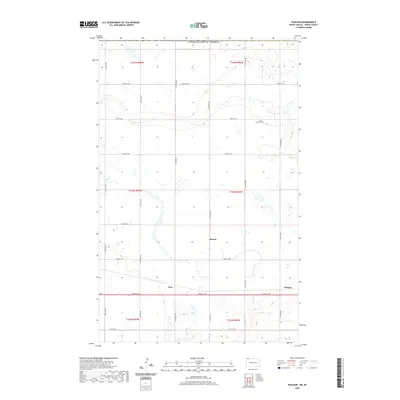
1948 Stady
Divide County, ND
1949 Noonan SE
Divide County, ND
1949 Noonan SW
Divide County, ND
1949 Paulson
Divide County, ND
1974 Bush Lake
Divide County, ND
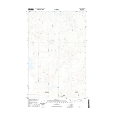
1974 Hamlet
Divide County, ND
1983 Alexandria
Divide County, ND
1983 Alkabo
Divide County, ND
1983 Colgan East
Divide County, ND
1983 Colgan SE
Divide County, ND
1983 Colgan West
Divide County, ND
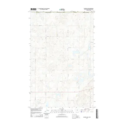
1983 Skjermo Lake
Divide County, ND
1983 Writing Rock North
Divide County, ND
1983 Writing Rock South
Divide County, ND
2011 Alamo NE
Divide County, ND
2011 Alexandria
Divide County, ND
2011 Alkabo
Divide County, ND
2011 Bright Water Lake
Divide County, ND
2011 Bush Lake
Divide County, ND
2011 Camp Lake
Divide County, ND
2011 Colgan East
Divide County, ND
2011 Colgan SE
Divide County, ND
2011 Colgan West
Divide County, ND
2011 Crosby SE
Divide County, ND
2011 Crosby SW
Divide County, ND
2011 Hamlet
Divide County, ND
2011 Noonan SE
Divide County, ND
2011 Noonan SW
Divide County, ND
2011 Paulson
Divide County, ND
2011 Skjermo Lake
Divide County, ND
2011 Smoky Butte
Divide County, ND
2011 Stady
Divide County, ND
2011 Writing Rock North
Divide County, ND
2011 Writing Rock South
Divide County, ND
2014 Alamo NE
Divide County, ND
2014 Alexandria
Divide County, ND
2014 Alkabo
Divide County, ND
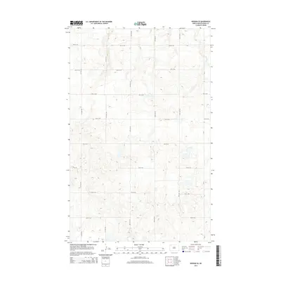
2014 Bright Water Lake
Divide County, ND
2014 Bush Lake
Divide County, ND
2014 Camp Lake
Divide County, ND
2014 Colgan East
Divide County, ND
2014 Colgan SE
Divide County, ND
2014 Colgan West
Divide County, ND
2014 Crosby SE
Divide County, ND
2014 Crosby SW
Divide County, ND
2014 Hamlet
Divide County, ND
2014 Noonan SE
Divide County, ND
2014 Noonan SW
Divide County, ND
2014 Paulson
Divide County, ND
2014 Skjermo Lake
Divide County, ND
2014 Smoky Butte
Divide County, ND
2014 Stady
Divide County, ND
2014 Writing Rock North
Divide County, ND
2014 Writing Rock South
Divide County, ND
2017 Alamo NE
Divide County, ND
2017 Alexandria
Divide County, ND
2017 Alkabo
Divide County, ND
2017 Bright Water Lake
Divide County, ND
2017 Bush Lake
Divide County, ND
2017 Camp Lake
Divide County, ND
2017 Colgan East
Divide County, ND
2017 Colgan SE
Divide County, ND
2017 Colgan West
Divide County, ND
2017 Crosby SE
Divide County, ND
2017 Crosby SW
Divide County, ND
2017 Hamlet
Divide County, ND
2017 Noonan SE
Divide County, ND
2017 Noonan SW
Divide County, ND
2017 Paulson
Divide County, ND
2017 Skjermo Lake
Divide County, ND
2017 Smoky Butte
Divide County, ND
2017 Stady
Divide County, ND
2017 Writing Rock North
Divide County, ND
2017 Writing Rock South
Divide County, ND
2020 Alamo NE
Divide County, ND
2020 Alexandria
Divide County, ND
2020 Alkabo
Divide County, ND
2020 Bright Water Lake
Divide County, ND
2020 Bush Lake
Divide County, ND
2020 Camp Lake
Divide County, ND
2020 Colgan East
Divide County, ND
2020 Colgan SE
Divide County, ND
2020 Colgan West
Divide County, ND
2020 Crosby SE
Divide County, ND
2020 Crosby SW
Divide County, ND
2020 Hamlet
Divide County, ND
2020 Noonan SE
Divide County, ND
2020 Noonan SW
Divide County, ND
2020 Paulson
Divide County, ND
2020 Skjermo Lake
Divide County, ND
2020 Smoky Butte
Divide County, ND
2020 Stady
Divide County, ND
2020 Writing Rock North
Divide County, ND
2020 Writing Rock South
Divide County, ND
2024 Alamo NE
Divide County, ND
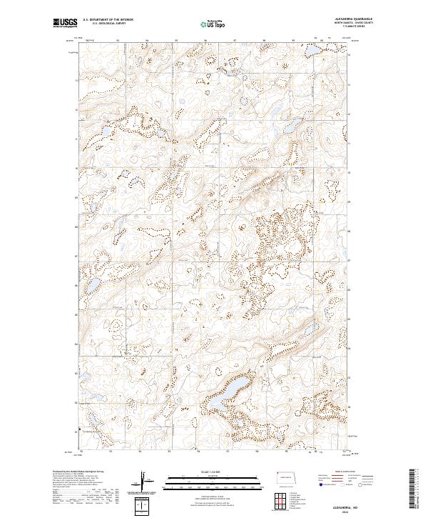
2024 Alexandria
Divide County, ND
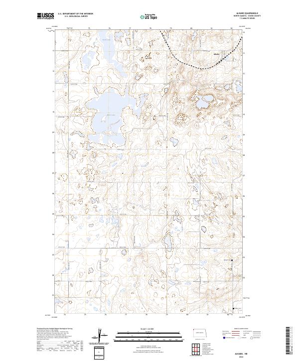
2024 Alkabo
Divide County, ND
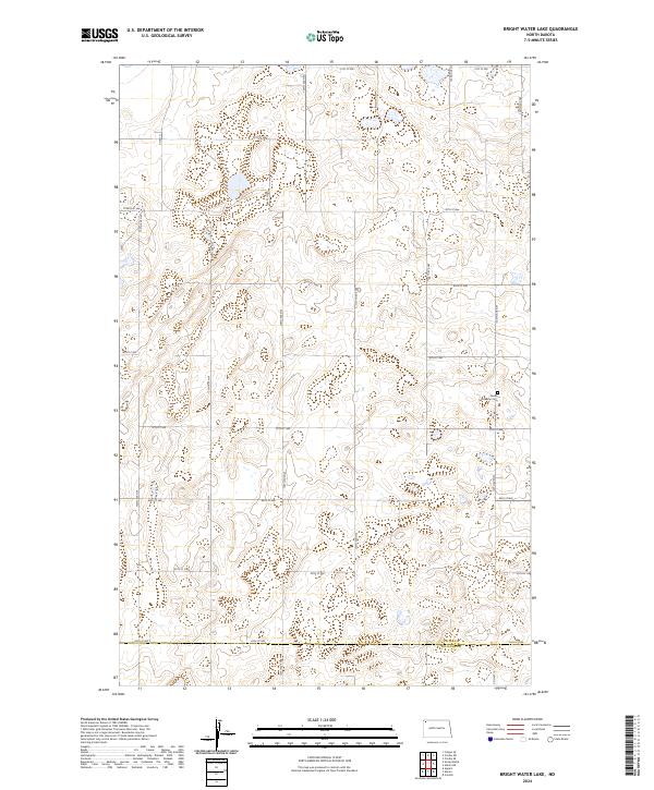
2024 Bright Water Lake
Divide County, ND
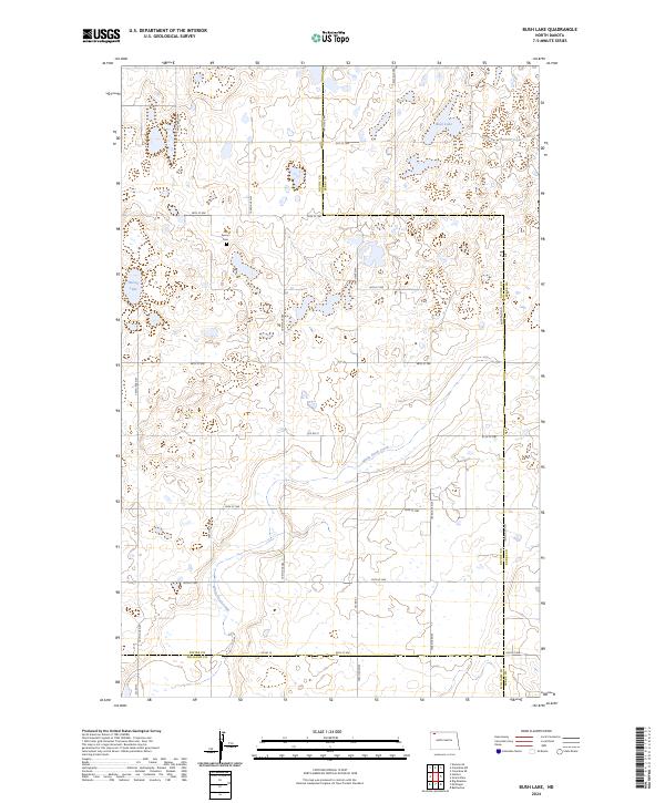
2024 Bush Lake
Divide County, ND
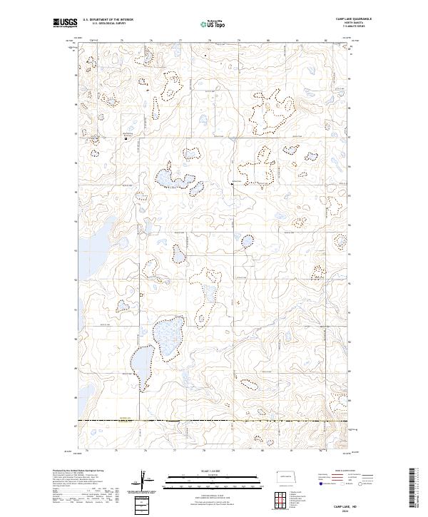
2024 Camp Lake
Divide County, ND
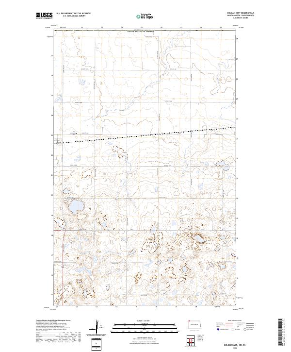
2024 Colgan East
Divide County, ND
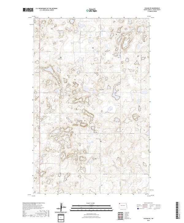
2024 Colgan SE
Divide County, ND
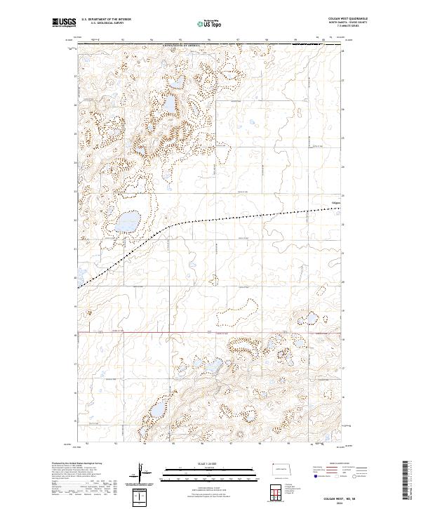
2024 Colgan West
Divide County, ND
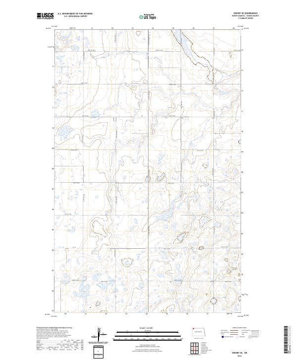
2024 Crosby SE
Divide County, ND
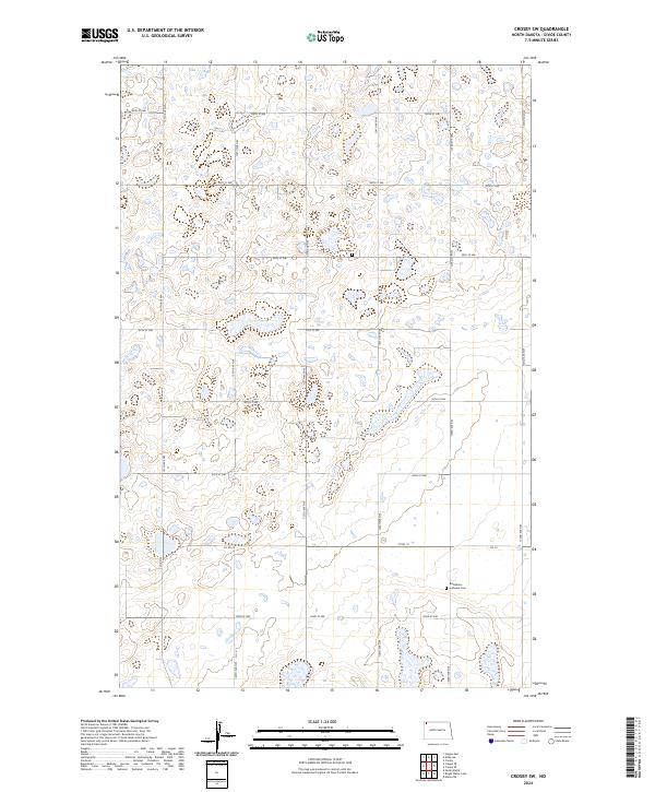
2024 Crosby SW
Divide County, ND
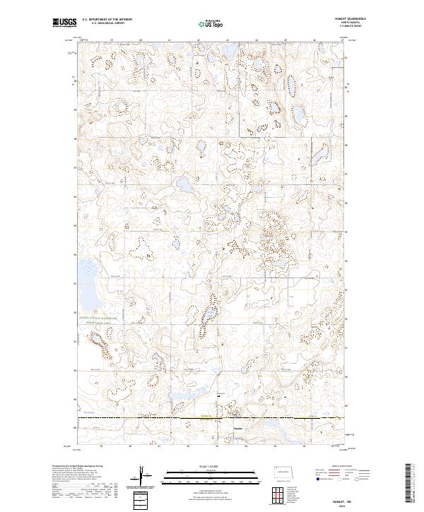
2024 Hamlet
Divide County, ND
2024 Noonan SE
Divide County, ND
2024 Noonan SW
Divide County, ND
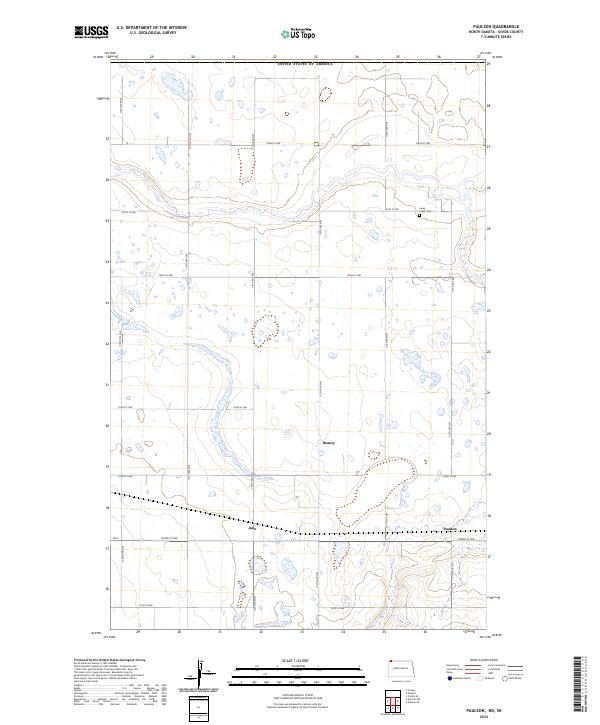
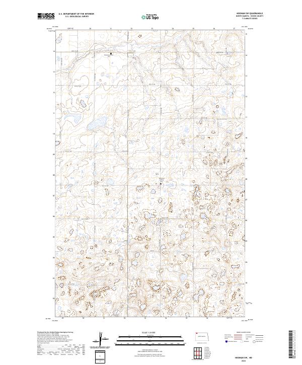
2024 Paulson
Divide County, ND
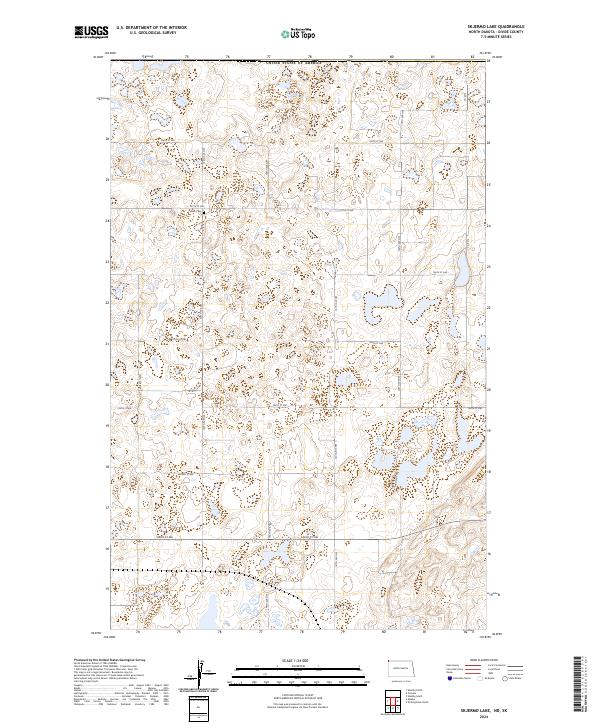
2024 Skjermo Lake
Divide County, ND
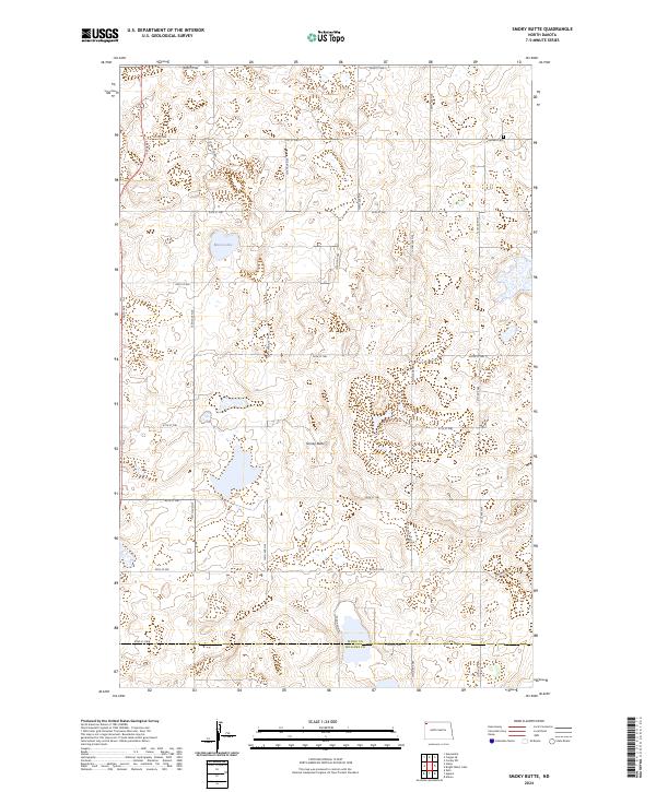
2024 Smoky Butte
Divide County, ND
2024 Stady
Divide County, ND
2024 Writing Rock North
Divide County, ND
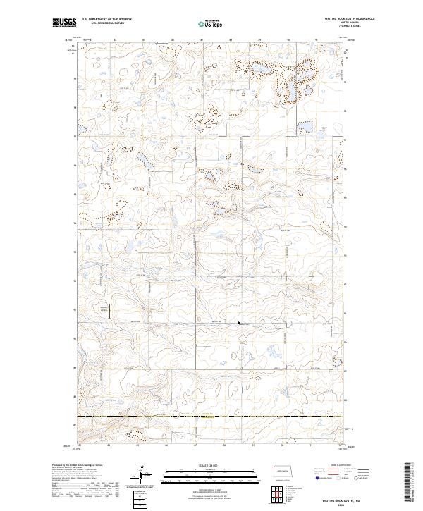
2024 Writing Rock South
Divide County, ND