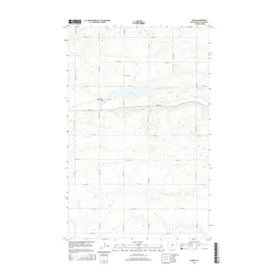
2014 Map of Alamo
USGS Topo · Published 2014About this map
Alamo serves as the central hub for this portion of Williams County, situated just west of the expansive Cottonwood Lake. The town's grid is anchored by a Po and is connected to the surrounding rural landscape by an organized network of section roads like 80th St NW and 129th Ave NW. The topography here is defined by the high prairie of northwestern North Dakota, where drainage patterns lead south toward the Little Muddy River. This 2014 survey documents the enduring layout of the plains, where the Alamo Cem stands north of the lake as a fixed point for local genealogy. The landscape is characterized by numerous small potholes and depressions typical of the Missouri Coteau region, which influence the winding paths of secondary roads through the section-line grid.
Find a feature on this map
21 named features on this map. Tap any name to fly to it.
Don’t see what you’re looking for? This feature index may not catch every label — zoom into the map to look around manually.
Map Details
Editions of this 2014 Alamo Map
This is the sole edition of this map. No revisions or reprints were ever made.
Other maps of this area

1911 · Ray
USGS Topo · 1:125,000

1948 · Smoky Butte
USGS Topo · 1:24,000

1948 · Alamo N.E.
USGS Topo · 1:24,000

1948 · Bright Water Lake
USGS Topo · 1:24,000

1953 · Williston
USGS Topo · 1:250,000

1957 · Williston
USGS Topo · 1:250,000

1974 · Twin Lakes
USGS Topo · 1:24,000

1977 · Appam
USGS Topo · 1:24,000

1977 · Alamo
USGS Topo · 1:24,000

1978 · Corinth
USGS Topo · 1:24,000