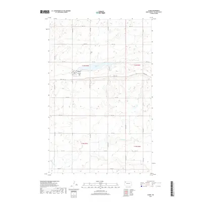
2017 Map of Alamo
USGS Topo · Published 2017About this map
Alamo serves as the central hub of this Williams County landscape, situated near the western edge of Cottonwood Lake. The community's local geography is defined by a grid of rural routes including Railroad Ave and 1st Ave, while the small municipal airport, Overland-Lohse Field, sits immediately south of the town center. This area of North Dakota exhibits a typical high-plains survey pattern, with section lines clearly marked by roads such as 80th St NW and 128th Ave NW.
Find a feature on this map
29 named features on this map. Tap any name to fly to it.
Don’t see what you’re looking for? This feature index may not catch every label — zoom into the map to look around manually.
Map Details
Editions of this 2017 Alamo Map
This is the sole edition of this map. No revisions or reprints were ever made.
Other maps of this area

1911 · Ray
USGS Topo · 1:125,000

1948 · Smoky Butte
USGS Topo · 1:24,000

1948 · Alamo N.E.
USGS Topo · 1:24,000

1948 · Bright Water Lake
USGS Topo · 1:24,000

1953 · Williston
USGS Topo · 1:250,000

1957 · Williston
USGS Topo · 1:250,000

1974 · Twin Lakes
USGS Topo · 1:24,000

1977 · Appam
USGS Topo · 1:24,000

1977 · Alamo
USGS Topo · 1:24,000

1978 · Corinth
USGS Topo · 1:24,000