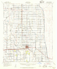
1940 Map of Alamorio
USGS Topo · Published 1956About this map
The Alamo River winds through an intricately plumbed desert landscape in this mid-century Imperial County survey. The region is defined by a dense grid of irrigation infrastructure, with alphabetically organized channels such as the Moss Lateral, Ohmar Lateral, and Pansy Canal supporting the agricultural expansion of the valley. Holtville serves as the primary hub, surrounded by smaller siding settlements and rural junctions like Alamorio, Sandia, and Meloland.
Find a feature on this map
71 named features on this map. Tap any name to fly to it.
Don’t see what you’re looking for? This feature index may not catch every label — zoom into the map to look around manually.
Map Details
Editions of this 1940 Alamorio Map
This is the sole edition of this map. No revisions or reprints were ever made.
Other maps of this area
1907 · Holtville
USGS Topo · 1:125,000
1915 · El Centro
USGS Topo · 1:125,000
1940 · Brawley
USGS Topo · 1:62,500
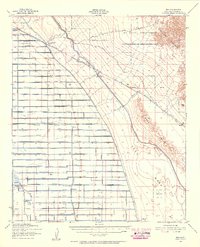
1940 · Iris
USGS Topo · 1:62,500
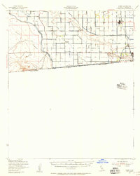
1940 · Heber
USGS Topo · 1:62,500
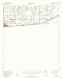
1940 · Calexico
USGS Topo · 1:62,500
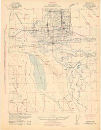
1942 · El Centro
USGS Topo · 1:250,000
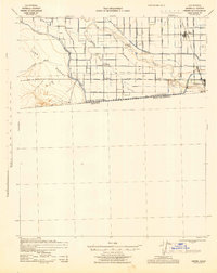
1943 · Heber
USGS Topo · 1:62,500
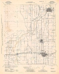
1943 · Brawley
USGS Topo · 1:62,500
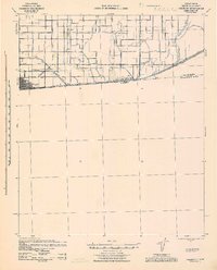
1943 · Calexico
USGS Topo · 1:62,500