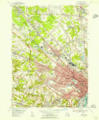
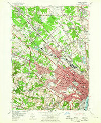
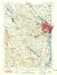
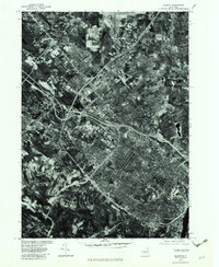
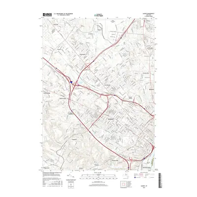
1953 Map of Albany
USGS Topo · Published 1956About this map
Albany sits at the heart of this mid-century landscape, characterized by a dense urban core that gives way to rapidly developing suburbs and institutional campuses. The city’s educational and medical infrastructure is prominent, featuring sites like the Albany Academy for Boys, St Agnes Sch for Girls, and the Albany Hospital Sanatorium. To the north, the historic legacy of the Shakers is preserved near the Ann Lee Home and its associated cemetery. The industrial and transportation backbone is defined by the New York Central railroad lines and the emerging Thruway, which carve through the Pine Bush terrain toward Colonie and Roessleville. Natural boundaries like the winding Normans Kill and the Hudson River frame the southern and eastern edges, while numerous numbered primary schools and local landmarks like Washington Park illustrate the civic layout of the state capital during this era of growth.
Find a feature on this map
92 named features on this map. Tap any name to fly to it.
Don’t see what you’re looking for? This feature index may not catch every label — zoom into the map to look around manually.
Map Details
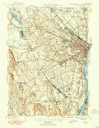
Editions of this 1953 Albany Map
3 editions found
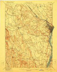
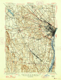
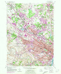
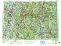
Historical Maps of Albany Through Time
21 maps found

1893 Albany
Albany County, NY

1895 Albany
Albany County, NY
1898 Albany
Albany County, NY
1927 Albany
Albany County, NY
1947 Albany
Albany County, NY

1948 Albany
Albany County, NY
1950 Albany
Albany County, NY
1953 Albany
Albany County, NY
1956 Albany
Albany County, NY

1957 Albany
Albany County, NY

1959 Albany
Albany County, NY

1962 Albany
Albany County, NY
1978 Albany
Albany County, NY

1986 Albany
Albany County, NY

1989 Albany
Albany County, NY
1994 Albany
Albany County, NY
2010 Albany
Albany County, NY
2013 Albany
Albany County, NY
2016 Albany
Albany County, NY
2019 Albany
Albany County, NY

2023 Albany
Albany County, NY