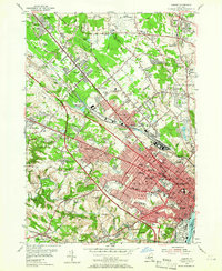
1953 Map of Albany
USGS Topo · Published 1965About this map
The dense urban grid of Albany and the developing suburbs of Colonie are documented here during a period of significant post-war expansion. The transportation network is dominated by the New York Central railroad and the New York State Thruway, illustrating the era's shift toward high-speed automotive travel. Institutional presence is a defining feature, with the grounds of Siena College, College of St Rose, and the Ann Lee Home occupying prominent positions.
Find a feature on this map
84 named features on this map. Tap any name to fly to it.
Don’t see what you’re looking for? This feature index may not catch every label — zoom into the map to look around manually.
Map Details
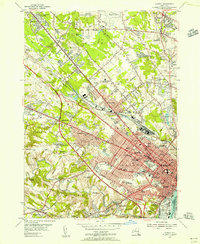
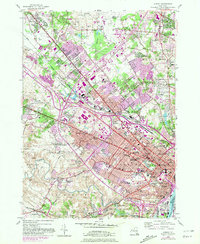
Editions of this 1953 Albany Map
3 editions found
Other maps of this area

1893 · Cohoes
USGS Topo · 1:62,500

1893 · Troy
USGS Topo · 1:62,500

1893 · Schenectady
USGS Topo · 1:62,500

1893 · Albany
USGS Topo · 1:62,500

1895 · Troy
USGS Topo · 1:62,500

1895 · Cohoes
USGS Topo · 1:62,500

1895 · Albany
USGS Topo · 1:62,500

1895 · Schenectady
USGS Topo · 1:62,500

1898 · Schenectady
USGS Topo · 1:62,500

1898 · Albany
USGS Topo · 1:62,500