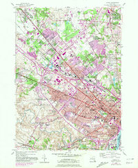
1953 Map of Albany
USGS Topo · Published 1981About this map
The State Capitol and the densely developed streets of Albany anchor this 1953 survey, which was updated in 1980 to show the suburban expansion and highway interchanges reshaping the capital district. From the established neighborhoods around Washington Park to the institutional corridor of State Teachers College and the College of St Rose, the map details a city in transition. To the northwest, the Pine Bush terrain gives way to the growing Albany County Airport and the historic Shakers settlement site near the Ann Lee Home.
Find a feature on this map
114 named features on this map. Tap any name to fly to it.
Don’t see what you’re looking for? This feature index may not catch every label — zoom into the map to look around manually.
Map Details
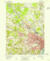
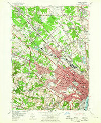
Editions of this 1953 Albany Map
3 editions found
Other maps of this area

1893 · Cohoes
USGS Topo · 1:62,500

1893 · Troy
USGS Topo · 1:62,500

1893 · Schenectady
USGS Topo · 1:62,500

1893 · Albany
USGS Topo · 1:62,500

1895 · Troy
USGS Topo · 1:62,500

1895 · Cohoes
USGS Topo · 1:62,500

1895 · Albany
USGS Topo · 1:62,500

1895 · Schenectady
USGS Topo · 1:62,500

1898 · Schenectady
USGS Topo · 1:62,500

1898 · Albany
USGS Topo · 1:62,500