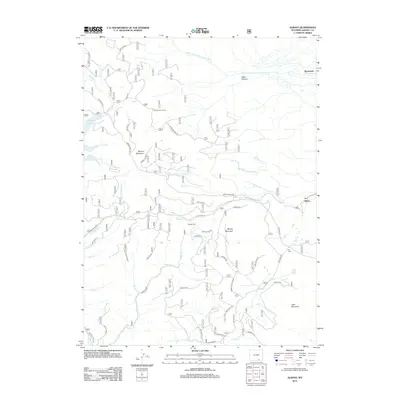
2012 Map of Albany
USGS Topo · Published 2012About this map
The Middle Fork Little Laramie River and S Fork Little Laramie River anchor this drainage basin within Albany County, illustrating a landscape defined by water and timber resources. The settlement of Albany and the Otto Lumber Camp highlight the area's historical connection to the logging industry, while the northern reach near Deerwood transitions toward the steep descent of Hells Canyon.
Find a feature on this map
55 named features on this map. Tap any name to fly to it.
Don’t see what you’re looking for? This feature index may not catch every label — zoom into the map to look around manually.
Map Details
Editions of this 2012 Albany Map
This is the sole edition of this map. No revisions or reprints were ever made.
Other maps of this area

1906 · Medicine Bow
USGS Topo · 1:125,000

1908 · Medicine Bow
USGS Topo · 1:125,000

1954 · Rawlins
USGS Topo · 1:250,000

1958 · Rawlins
USGS Topo · 1:250,000
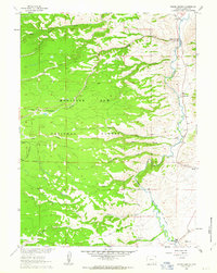
1961 · Woods Landing
USGS Topo · 1:24,000
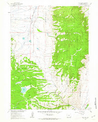
1961 · Lake Owen
USGS Topo · 1:24,000
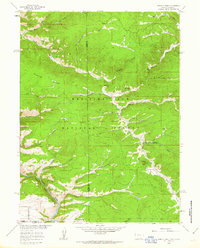
1961 · Horatio Rock
USGS Topo · 1:24,000

1961 · Medicine Bow Peak
USGS Topo · 1:24,000
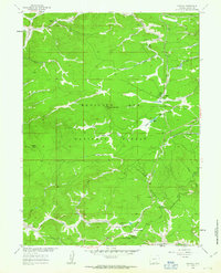
1961 · Foxpark
USGS Topo · 1:24,000
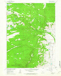
1961 · Centennial
USGS Topo · 1:24,000